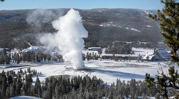
Yellowstone
Yellowstone National Park, ID
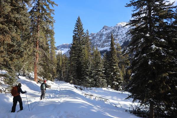
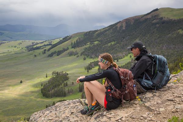
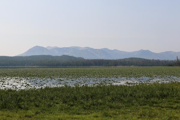
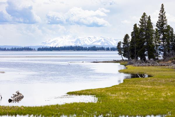
Pelican Valley Trail
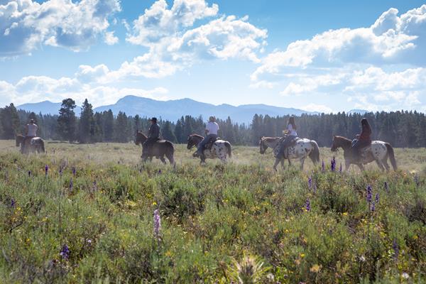
Hike through forests, meadows, and a river valley—all of which are some of the best grizzly bear country in the lower 48 states.
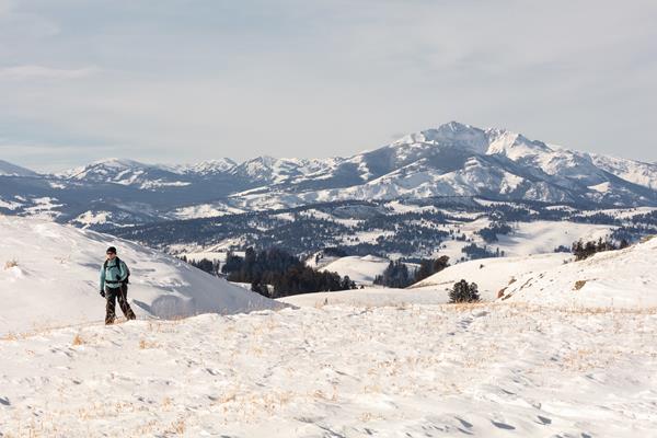
Forces of the Northern Range Self-guided Trail
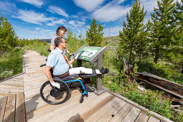
Follow this self-guided trail along a boardwalk that winds through the grassland of Yellowstone's northern range.
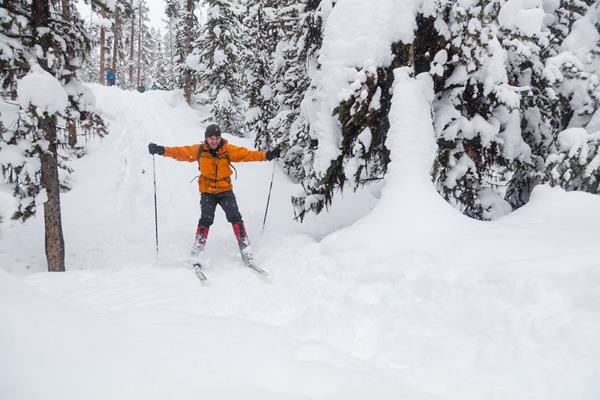
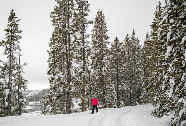
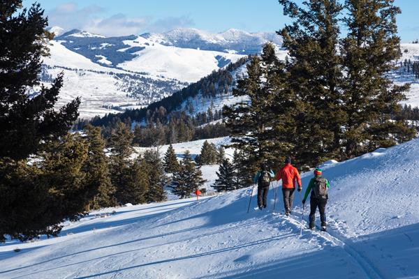
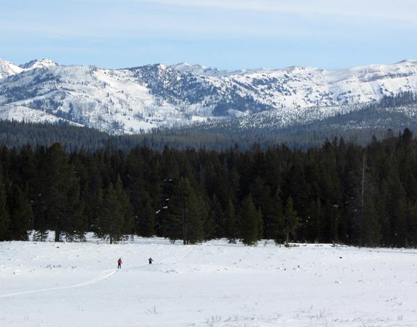
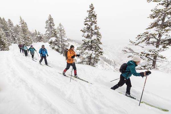
Riverside Ski Trail
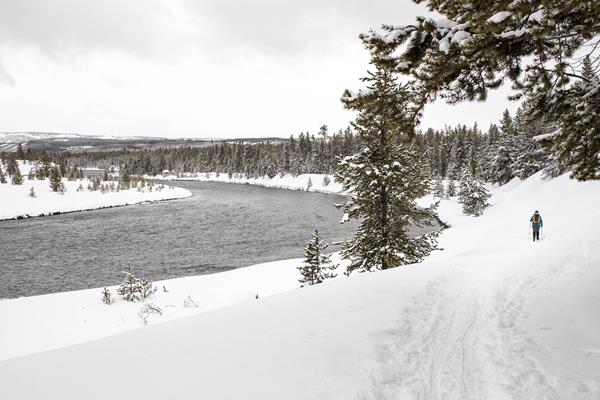
The Riverside Ski Trail provides several easy options to ski along the Madison River and enjoy views of both the Gallatin and Madison mountain ranges.
Bannock Ski Trail
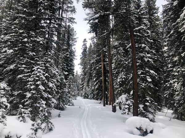
The Bannock Ski Trail is a 2 mile (3.2 km) easy ski that follows the old road bed that once used to supply the mining town of Cooke City, Montana.
Observation Point Loop Snowshoe Trail
The Observation Point Loop Snowshoe Trail is a 2.0 mile (3.2 km) snowshoe only trail that treats visitors to unobstructed views of the Upper Geyser Basin and the Firehole River.
Tower Fall Ski Trail
The Tower Fall Ski Trail is a 5.0 mile (8 km) round-trip easiest trail that allows skiers to enjoy canyon views of the Yellowstone River and Tower Fall.
Snow Pass Ski Trail
The Snow Pass Ski Trail is a 4.2 mile (6.76 km), skier-tracked, one-way, easiest to most-difficult, ski that takes skiers through a steep heavily forested area to a semi-flat wide open area with views of Swan Lake Flats.
Sheepeater Ski Trail
The Sheepeater Ski Trail is a skier-tracked, easy, one-way 5 mile (8 km) trail that provides scenic views of Swan Lake Flats.
Roller Coaster Ski Trail
The Roller Coaster Ski Trail is a more difficult 1.8 mile (2.9 km) roundtrip forested trail taking skiers on a rolling course with several steep drop-offs.
Old Canyon Bridge Ski Trail
The Old Canyon Bridge Ski Trail is a flat 1 mile (1.6 km) easiest ski that provides skiers a short but beautiful way to see the Yellowstone River in winter.
North Rim Ski Trail
The North Rim Ski Trail is a 3.0 (7.24 km), easiest to more difficult forested trail that takes skiers along the North Canyon Rim providing views into the Grand Canyon of the Yellowstone.
Mallard Lake Ski Trail
The Mallard Lake Ski Trail is a 6.8 mile (10.9 km) round-trip, skier-tracked, more difficult trail taking skiers on a steep climb to views of Mallard Lake.
Lost Lake Ski Trail
The Lost Lake Ski Trail is a 4 mile (6.4 km) easiest to more difficult one-way trail that takes skiers by Petrified Tree, Lost Lake, and Calcite Springs Overlook.
Fawn Pass Ski Trail
The Fawn Pass Ski Trail is an 11 mile (17.7 km), one-way, more difficult ski trail that provides skiers with wide open views of the Gallatin Range.
Fairy Falls Ski Trail
The Fairy Falls Ski Trail is a 10 mile (16 km) (with ski drop) skier-tracked, round-trip, easiest to more dificult ski that provides icy views of one of Yellowstone's most popular waterfalls.
Chittenden Loop Ski Trail
The Chittenden Loop Ski Trail is an easiest to more difficult 5.3 mile (8.3 km) loop providing views of Mount Washburn on clear days.
Canyon Rim Ski Trail
The Canyon Rim Ski Trail is a 4.5 mile (7.24 km), easiest to more difficult forested trail that takes skiers along the Canyon Rim providing views into the Grand Canyon of the Yellowstone.
Blacktail Plateau Ski Trail
The Blacktail Plateau Ski Trail is an easiest to more difficult 8 mile (12.8 km) one-way ski with two trailhead options. This trail travels open meadows and forests with great wildlife viewing opportunities in winter.
Barronette Ski Trail
The Barronette Trail is an easy 3.5 mile (5.6 km) one-way section of the Old Cooke City road and winds through conifer forest.
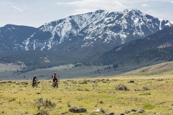
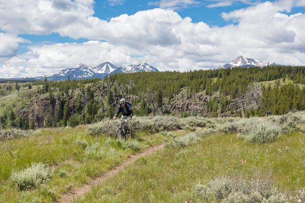
Riverside Bike Trail
Just inside the park's West Entrance, bicyclists can travel on the Riverside trail located just north of and paralleling the main Grand Loop Road. This trail gives access to a section of the Madison River. This is a fairly level trail and mountain bikes are recommended.
Old Lake Road Bike Trail
The old roadbed near the lakeshore between Lake Hotel and where the roadbed joins the main road south of Lake Junction (1 mile) has a great views of the Yellowstone Lake.
Old Faithful Lower General Store to Morning Glory Pool Bike Trail
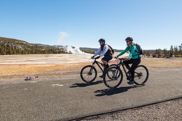
The paved trail in front of Old Faithful Lodge runs all the way to Morning Glory Pool. Take this short, (2 mi. round-trip) fairly level, paved-path and make stops to see geysers.
Natural Bridge Bike Trail
The Natural Bridge bike trail is 2.5 mi (4km) round-trip ride and begins just south of the Bridge Bay marina off the Grand Loop Road.
Lone Star Geyser Bike Trail
The trailhead for Lone Star Geyser is east of Kepler Cascades pull-out, 3.5 miles (5.6 km) southeast of Old Faithful overpass on Grand Loop Road.
Abandoned Railroad Bed Bike Trail
An abandoned railroad bed located near the north entrance of Yellowstone makes a beautiful bike trail.
Bunsen Peak Loop Bike Trail
The Bunsen Peak Loop is a ten mi (16 km) bike trail that circles Bunsen Peak.
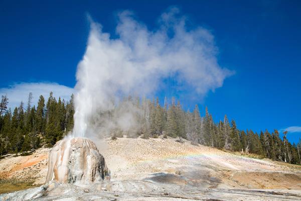
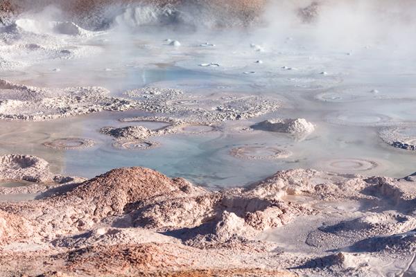
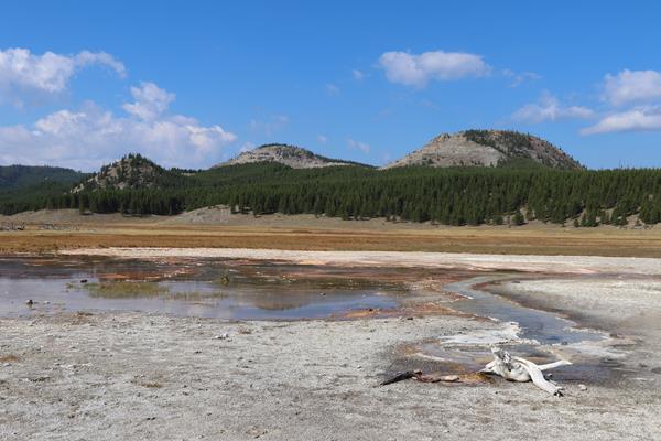
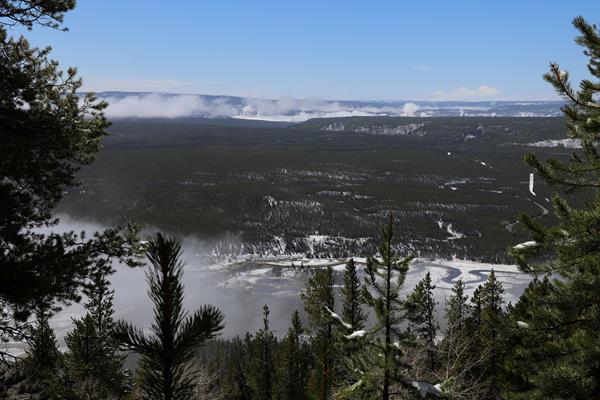
Norris Geyser Basin Trails
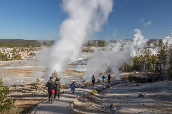
Norris Geyser Basin is one of the hottest and most acidic of Yellowstone’s hydrothermal areas. It is part of one of the world’s largest active volcanoes. Many hot springs and fumaroles here have temperatures above the boiling point (200ºF / 93ºC).
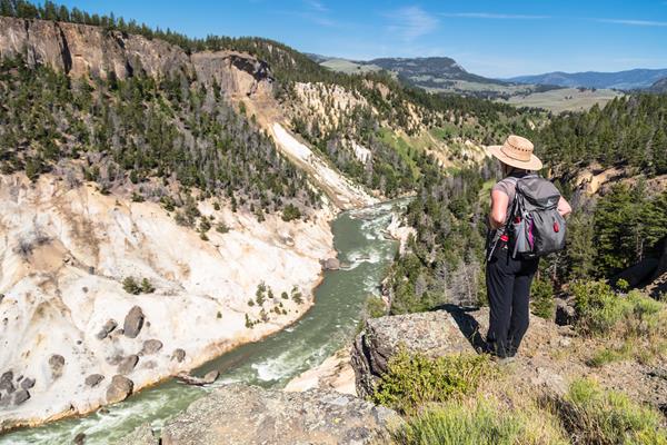
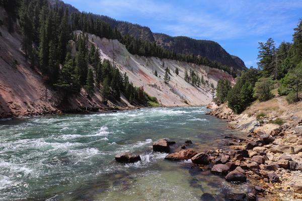
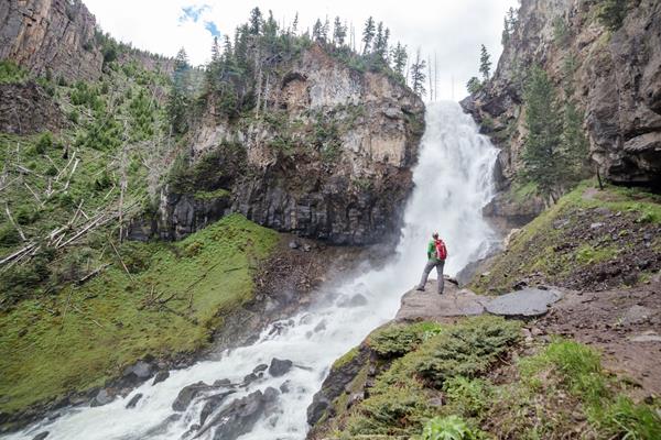
Grand Canyon of the Yellowstone
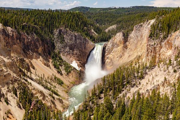
Look out across the Grand Canyon of the Yellowstone or take in the beauty of the Yellowstone River and its waterfalls.
Fountain Paint Pot Trail
Explore the four major types of hydrothermal features along this short, popular, boardwalk trail.
Explore the Fort Yellowstone Historic District
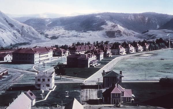
From 1886 to 1918, the US Army managed Yellowstone National Park. Starting in 1890, the US Army constructed Fort Yellowstone as a more permanent base of operations.
Yellowstone River Picnic Area Trail
Follow the rim of the Yellowstone River valley, enjoying views of bighorn sheep, the Narrows of the Yellowstone, Overhanging Cliff, and the towers of Tower Falls.
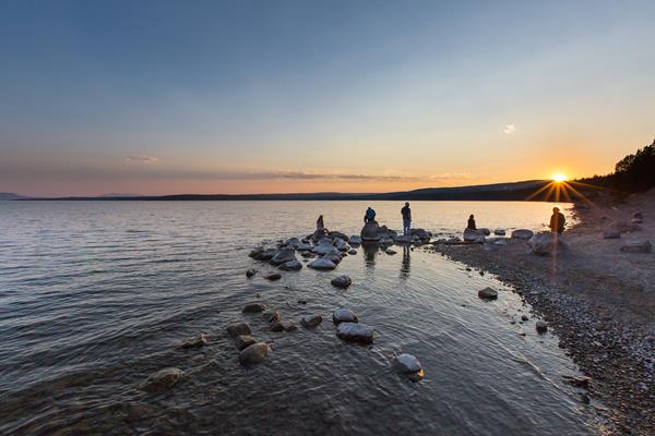
Yellowstone Lake Overlook Trail
Hike to a high mountain meadow for a commanding view of the West Thumb of Yellowstone Lake and the distant Absaroka Mountains.
Wraith Falls Trail
Cross sagebrush meadows, marshland, and mixed conifer forest to the base of Wraith Falls on Lupine Creek.
West Thumb Geyser Basin Trail
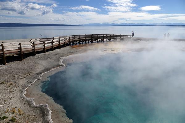
Stroll through a geyser basin of colorful hot springs and dormant lakeshore geysers situated on the scenic shores of Yellowstone Lake.
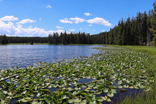
Trout Lake Trail
Enjoy a short hill climb through Douglas-fir forest to Trout Lake.
Storm Point Trail

Pass by Indian Pond and through a forest to the shores of Yellowstone Lake. Along the way, look for marmots in the rocky area near Storm Point.
Slough Creek Trail
Follow a historic wagon trail that heads toward the Absaroka-Beartooth Wilderness beyond Yellowstone.
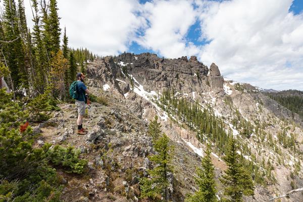
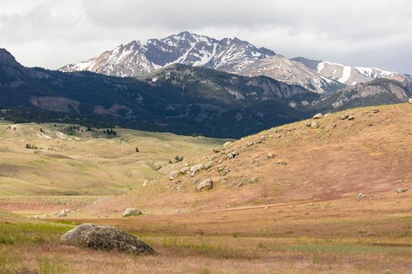
Specimen Ridge Day Hike Trail
Hike up to a ridge for magnificent views of Slough Creek Valley and the Absaroka Range.
Sepulcher Mountain Trail
Climb to the summit of Sepulcher Mountain while keeping an eye out for mountain goats, bighorn sheep, and moose along the way.
Seven Mile Hole Trail
Hike along the rim of the Grand Canyon of the Yellowstone, enjoy views of Silver Cord Cascade, and then descend to Seven Mile Hole.
Sentinel Meadows & Queen’s Laundry Trail
Follow the Firehole River and cross meadows until reaching a hydrothermal area. Look for the large sinter mounds of hot springs and the remains of the old, incomplete bathhouse.
Riddle Lake Trail
Hike through small mountain meadows and forests to the shores of a picturesque little lake. Look for elk in the meadows and for birds near the lake.
Rescue Creek Trail
Climb gradually through aspens and meadows, then descend through forests to sagebrush flats that lead to a footbridge across the Gardner River.
Ribbon Lake Trail
Take a stroll out to Ribbon Lake, also passing by Lily Pad and Clear lakes.
Purple Mountain Trail
Hike up Purple Mountain for panoramic views of the GIbbon and Madison Rivers.
Pelican Creek Nature Trail
Introduce yourself to a diverse assortment of Yellowstone habitats and look for birds while hike this loop trail through a forest to the shore of Yellowstone Lake.
Osprey Falls Trail
Walk along an old service road through meadows before descending into one of the deepest canyons in the park to see Osprey Falls plunge over the edge of an old lava flow.
Observation Point Trail
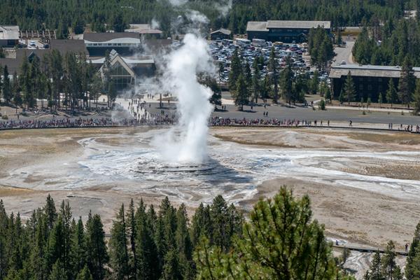
Head up switchbacks to a commanding view of the Upper Geyser Basin.
Observation Peak Trail
Hike to a high mountain peak for an outstanding view of the Yellowstone wilderness.
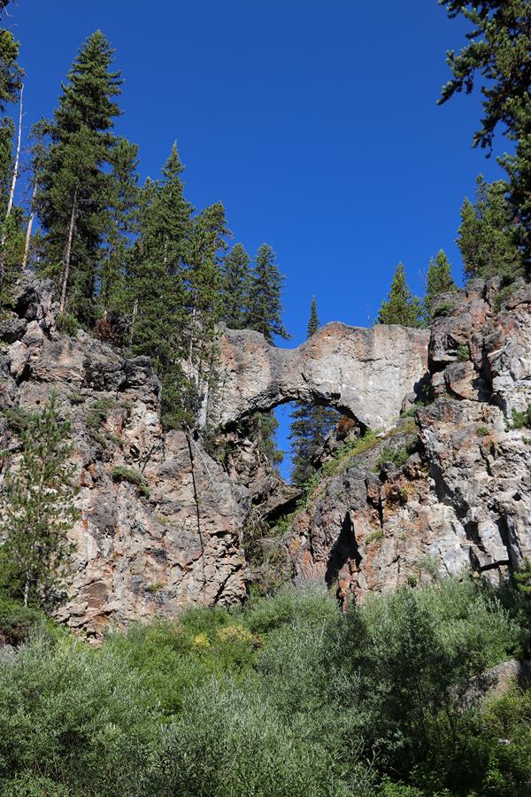
Natural Bridge Trail
Hike through a forest and along an old service road to a natural bridge, which was cut out of a cliff of rhyolite rock by Bridge Creek.