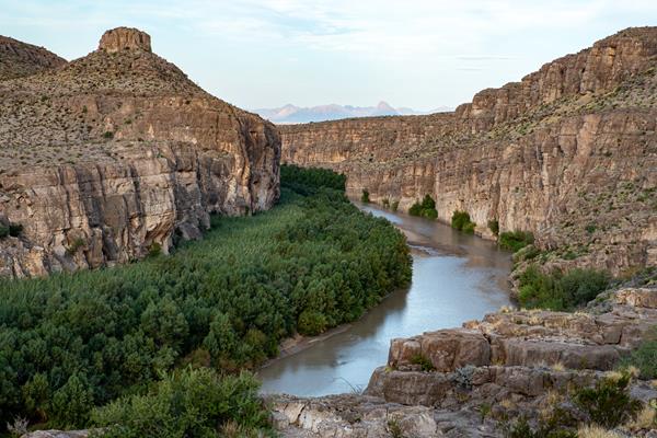
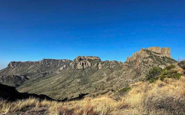
Big Bend
The big bend of the Rio Grande, TX
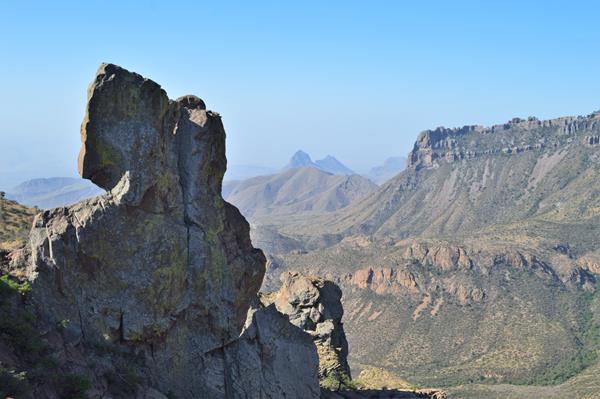
Anatomy of a Canyon
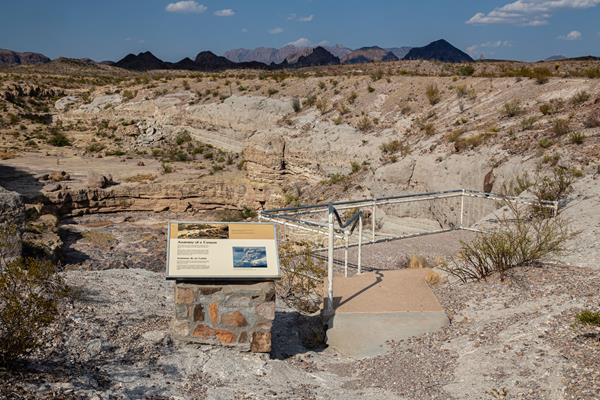
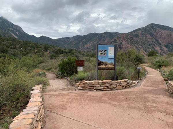
A short walk along the rim of Tuff Canyon takes you to three viewing platforms, as well as an exhibit panel that explains how the canyon was formed.
Blue Creek Trail
A strenuous, 5.5 mile one-way hike from the Homer Wilson Ranch headquarters up into the Chisos Mountains. The hike takes you along the rocky Blue Creek wash, through an open grassland, and up into the pinyon pine woodland of the Chisos Mountains. The trail ends at the junction with the Laguna Meadow Trail.
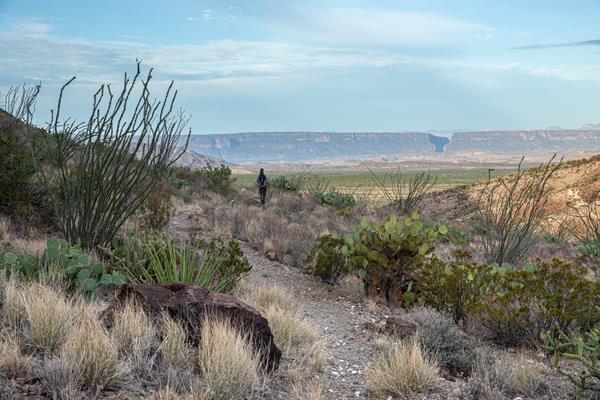
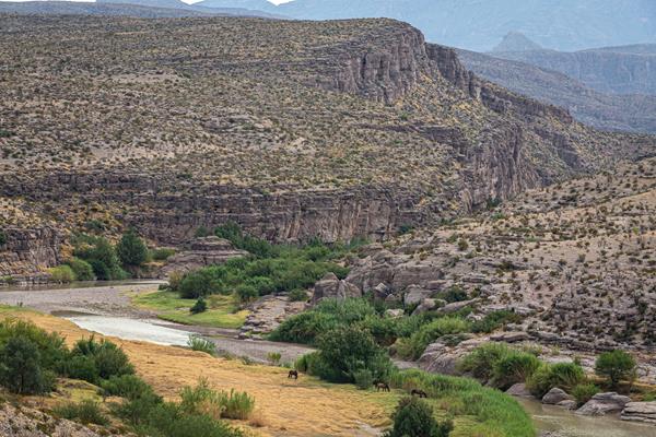
Boquillas Canyon Trail
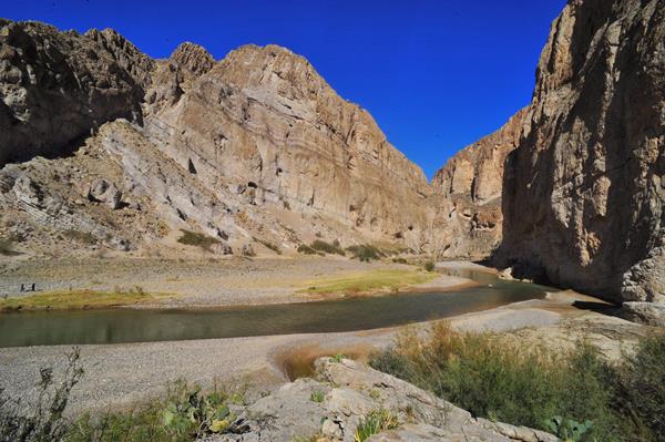
The Boquillas Canyon Trail is a great way to enjoy one of the three major canyons located in Big Bend National Park. This trail is 1.5 miles (2.4 km) round trip and parallels the Rio Grande for a short distance where it first enters Boquillas Canyon.
Burro Spring Trail
The Burro Spring Trail is a 2.4-mile hike through the desert to an overlook where you can see Burro Spring in the valley below. Tall cottonwoods and a palm tree (a remnant of early 20th-century ranching) mark the place where water flows to the surface.
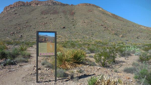
Chihuahuan Desert Nature Trail
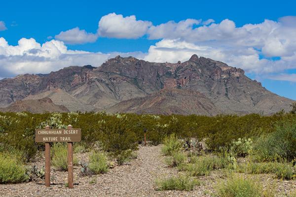
This short 0.5 mile (0.8 km) trail winds through vegetation typical of the Chihuahuan Desert. Spaced out around the trail are metal signs that discuss the plants and animals found in the park, and point out remnants of the early ranching era of Big Bend .
Chimneys Trail
A moderate 4.8-mile roundtrip hike to a volcanic dike featuring prehistoric rock art and remnants of early 20th-century ranching.
Chisos Basin Amphitheater
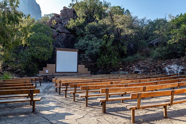
Join a ranger for an evening campground program at this outdoor amphitheater set among the juniper trees and red rock hillsides.
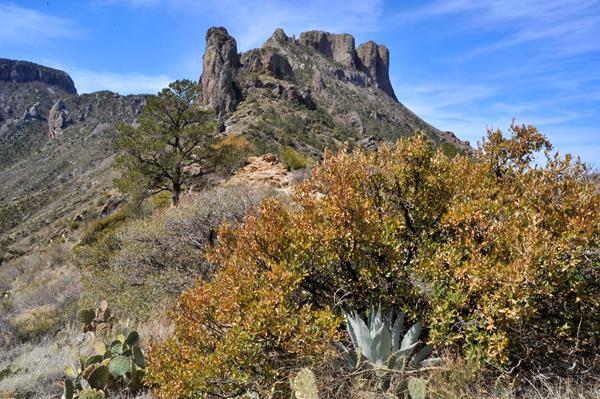
Chisos Basin Trailhead
Trails to Boot Canyon, Emory Peak, and the South Rim offer good views of the park and take you into a world far removed from the desert below.
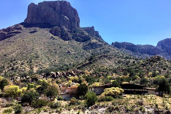
Chisos Mountains Lodge
The Chisos Mountains Lodge, located in the Chisos Basin, includes 72 rooms, a gift shop, dining room, and camp store.
Daniels Ranch
In the early part of the 20th century, hardy homesteaders constructed dwellings and an elaborate network of irrigation ditches for farming near this location beside the Rio Grande.
Dodson Trailhead
A rugged, strenuous 10 mile trail through the desert. The Dodson Trail crosses the southern Chisos Mountains foothills, resulting in large elevation gains and losses throughout the hike.
Dog Canyon Trail
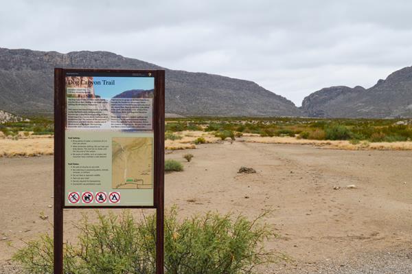
The Dog Canyon trail is a relatively flat 4-mile round-trip hike across open desert to a canyon that splits the Deadhorse Mountains. At the far end of the canyon one can see that the horizontal rock strata have been folded vertically by the geological forces that formed the mountain ridge the canyon traverses.
Dorgan Sublett Trail
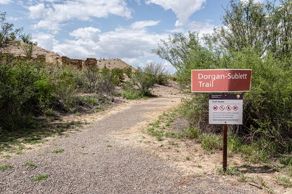
The Dorgan Sublett Trail is an easy one-mile roundtrip walk that leads to the remains of four structures that were part of the “Grand Canyon” farms operation in the early 1900s.
Dugout Wells
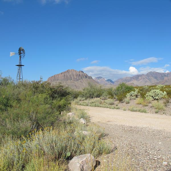
Dugout Wells was once known by homesteaders as the "Cultural Center of the Big Bend". A visit today reveals an oasis of trees, a working windmill, picnic tables, and a short 0.5 mile (0.8 km) walk along the Chihuahuan Desert Nature Trail.
Emory Peak Trail
A strenuous 10.5 mile roundtrip hike from the Chisos Basin to the highest point in the park.
Ernst Ridge Trailhead - Daniels Ranch
The 6-mile roundtrip Hot Springs Canyon trail follows the Rio Grande from Daniels Ranch to the hot spring and the Hot Springs Historic District.
Ernst Tinaja
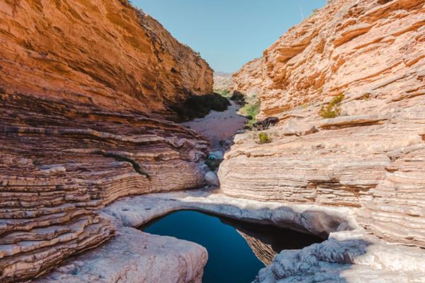
A one mile round-trip hike to a year-round water hole that has been eroded into a spectacular limestone canyon. Here, brightly colored rock layers have been folded and swirled into fanciful shapes. With steep and slippery sides, the tinaja often becomes a death trap for unsuspecting animals that seek to drink from its waters.
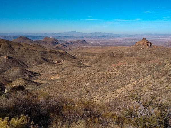
Grapevine Hills Road
Drive this improved dirt road for about 6.5 miles to reach the Grapevine Hills Trailhead, which leads to the balanced rock (2.2 miles roundtrip). Travel beyond the trailhead is only recommended for high clearance, 4x4 vehicles.
Grapevine Hills Trail
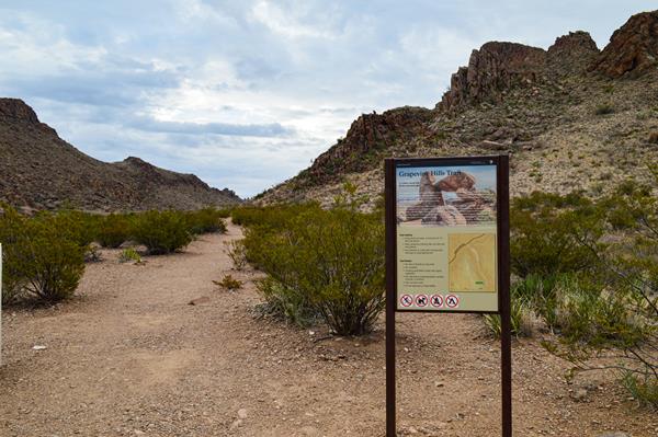
This trail leads to a group of balanced rocks in the heart of Grapevine Hills. The trailhead is reached by driving 6.5 miles down the Grapevine Hills dirt road. Depending on road conditions, vehicles with low clearance may not be able to access this trailhead.
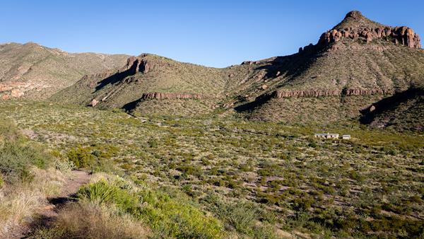
Homer Wilson Ranch Overlook
Visit the remains of a historic ranch built on the banks of Blue Creek.
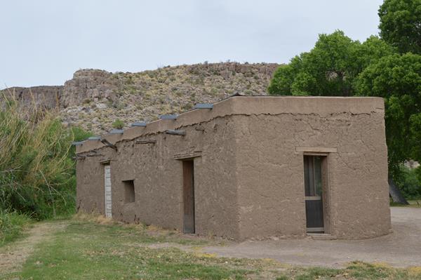
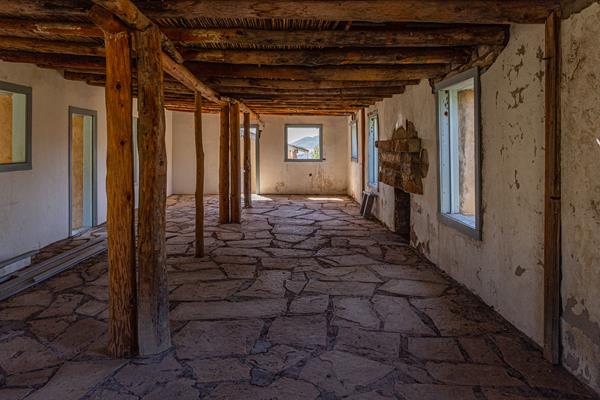
Homer Wilson Ranch Trail
A short hike leads to one of the best-preserved examples of early 20th-century ranching in Big Bend National Park. Explore the stone ranch house, corral, dipping vats, and other ranch features.
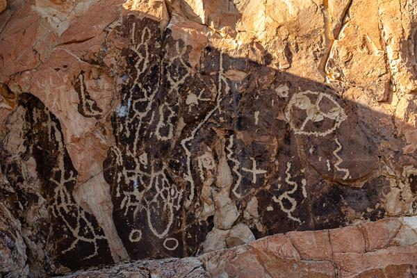
Hot Springs
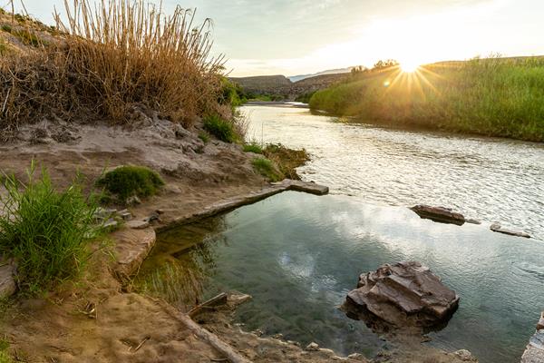
The Hot Springs Historic District preserves a rich history of human occupation from thousands of years ago to the not-so-distant past. Visitors can study rock art left behind on the limestone cliffs, or imagine what it would have been like to meet at the Hot Springs Post Office in the early 1900s to collect your mail. Langford's impressive bathhouse is long gone; today the spring is contained by the foundation remains of the bathhouse, on the north bank of the Rio Grande.
Hot Springs Historic Trail
This 1 mile roundtrip walk passes the remains of a resort, homestead, and pictographs, eventually ending at the hot springs. One can continue hiking above the river to Daniels Ranch, a roundtrip distance of 6 miles.
Langford Hot Springs
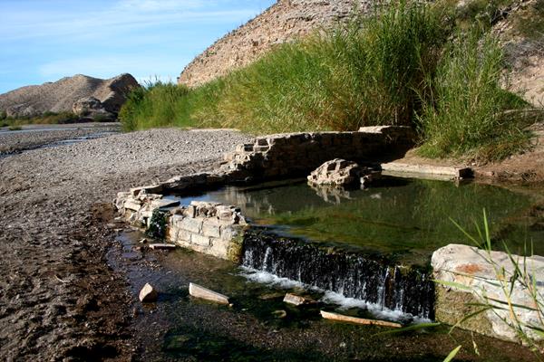
The Langford Hot Springs have an impressive history of use from Native Americans to J.O. Langford's healing resort.
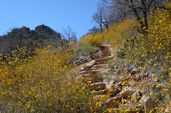
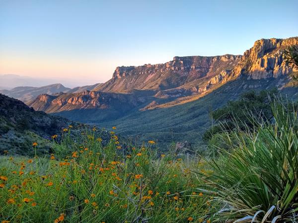
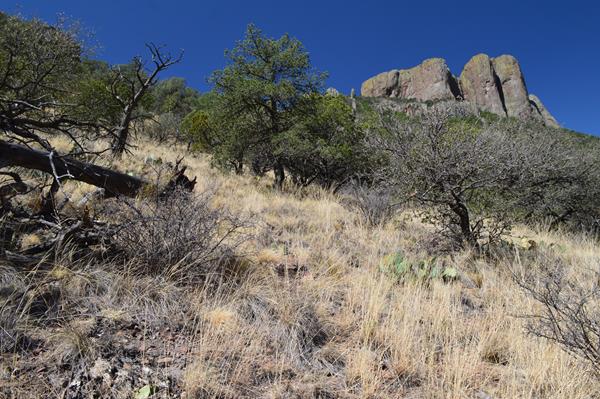
Lost Mine Trail
The Lost Mine Trail climbs to the side of Lost Mine Peak, offering spectacular views of Juniper Canyon and the Northeast Rim of the Chisos.
Lost Mine Trail Stop #1
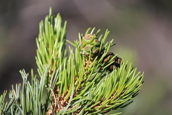
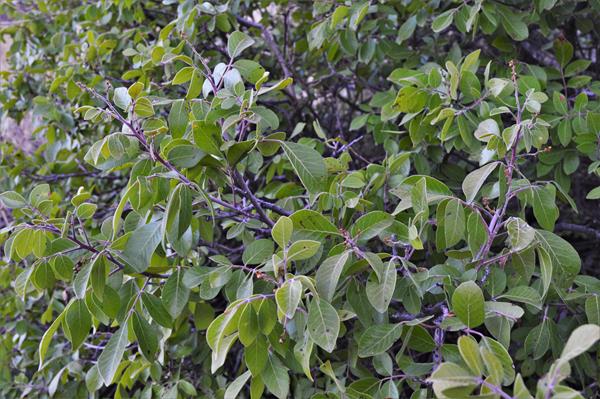
This is the first stop on the Lost Mine Trail Self-Guided Tour. This is a chance to closely examine the Mexican pinyon pine, a tree only found in Texas, New Mexico, and Arizona.
Lost Mine Trail Stop #10
This is the tenth stop along the Lost Mine Trail Self-Guided Tour. This low saddle affords a great view to the east into Juniper Canyon and the desert beyond.
Lost Mine Trail Stop #11
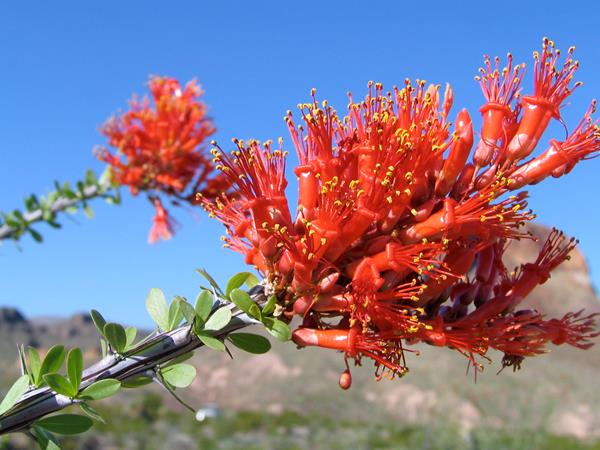
This is the third stop on the Lost Mine Trail Self-Guided Tour. At this location one can view an ocotillo and learn about several adaptations they have evolved to survive in the desert.
Lost Mine Trail Stop #12
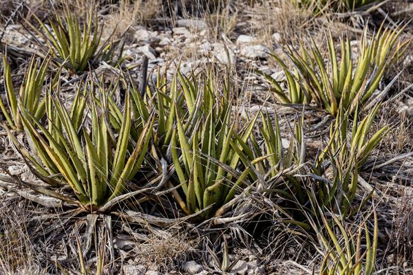
This is the twelfth stop on the Lost Mine Trail Self-guided Tour. Here is an opportunity to examine lechuguilla up close.
Lost Mine Trail Stop #13
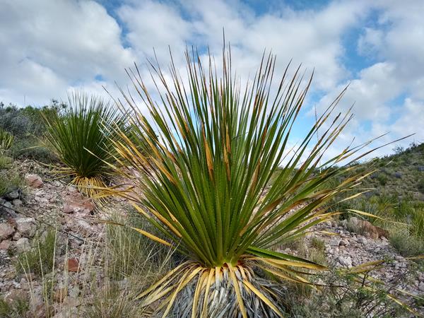
This is the fourth stop along the Lost Mine Trail Self-Guided Tour. Here you can learn more about the sotol, a common plant found in middle elevations in the park.
Lost Mine Trail Stop #14
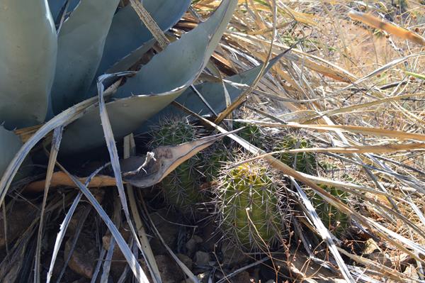
This is the fourteenth stop on the Lost Mine Trail Self-guided Tour. Here we discuss the claret cup cactus..
Lost Mine Trail Stop #15
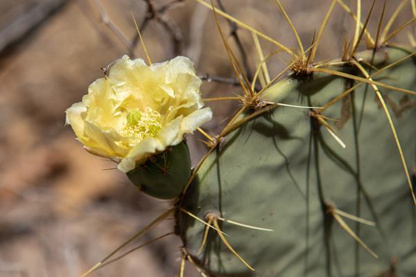
This is the fifteenth stop on the Lost Mine Trail Self-guided Tour. This affords a close look at a group of prickly pear cactus, which sport beautiful blooms in April and May.
Lost Mine Trail Stop #16
This is the sixteenth stop along the Lost Mine Trail Self-Guided Tour. Here one has a great view to the south of Casa Grande, Toll Mountain, and the East Rim.
Lost Mine Trail Stop #17
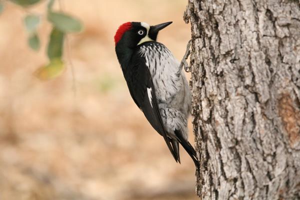
This is the seventeenth stop along the Lost Mine Trail Self-guided Tour. Here we talk about birds of the Chisos Basin and their songs.
Lost Mine Trail Stop #18
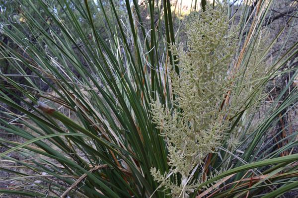
This is the eighteenth stop along the Lost Mine Trail Self-guided Tour. This affords a close-up look at nolina, also known as bear grass.
Lost Mine Trail Stop #19
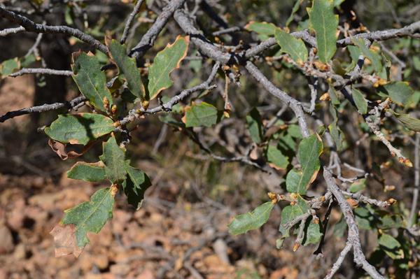
This is the nineteenth stop along the Lost Mine Trail Self-guided Tour. Here we discuss oak trees and the large variety of species in the park.
Lost Mine Trail Stop #2
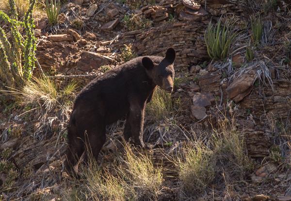
This is the second stop on the Lost Mine Trail Self-guided Tour. Here we talk about the return of black bears to Big Bend and an information sign says what to do if you encounter a bear.
Lost Mine Trail Stop #20
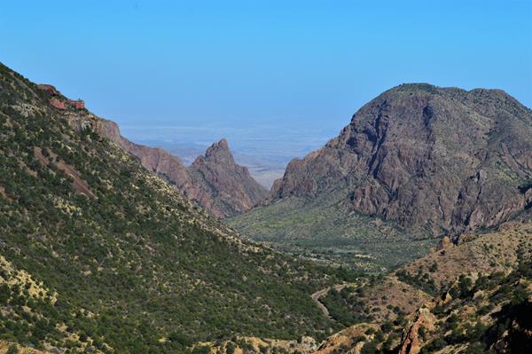
This is the twentieth stop along the Lost Mine Trail Self-guided Tour. This location affords a great view of the road into the Chisos Basin and a view out through the Window.
Lost Mine Trail Stop #21
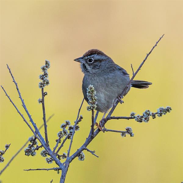
This is the twenty first stop along the Lost Mine Trail Self-guided Tour. At this stop listen to the birds around you and learn about the Rufous-crowned Sparrow.
Lost Mine Trail Stop #22
This is the twenty second stop along the Lost Mine Trail Self-guided Tour. Here we look at and discuss the evergreen sumac.
Lost Mine Trail Stop #23
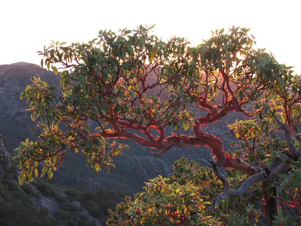
This is the twenty third stop along the Lost Mine Trail Self-Guided Tour. At this location you have a chance to admire and study the beautiful Texas madrone.
Lost Mine Trail Stop #24
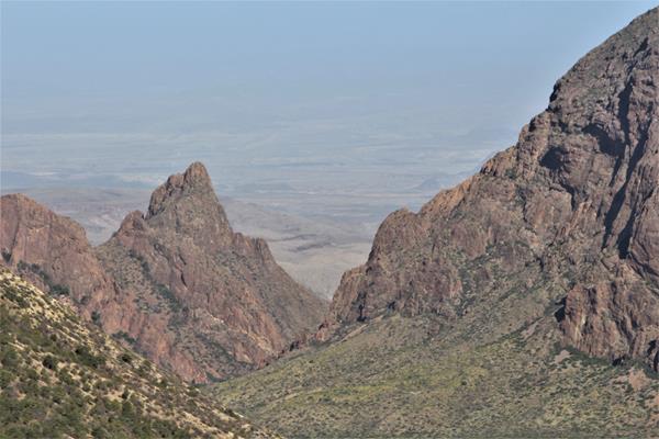
This is stop number twenty four on the Lost Mine Trail Self-guided Tour. This high elevation location offers a great view to the west, and is a great place to judge air quality on any particular day.
Lost Mine Trail Stop #25
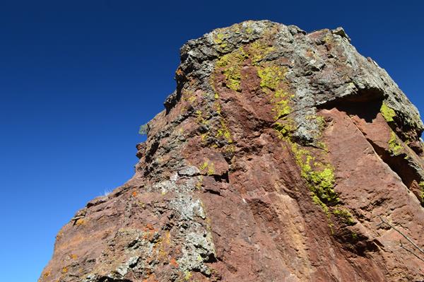
This is stop number twenty four on the Lost Mine Trail Self-guided Tour. A rock pillar next to the trail is adorned with lichens of different colors.
Lost Mine Trail Stop #26
This is the final stop along the Lost Mine Trail Self-guided Tour. Enjoy the 360 degree views!
Lost Mine Trail Stop #3
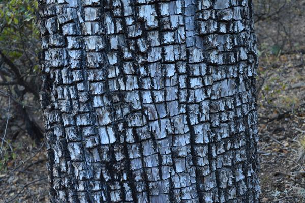
This is the third stop on the Lost Mine Trail Self-guided Tour. Here we discuss characteristics of the Alligator Juniper.
Lost Mine Trail Stop #4
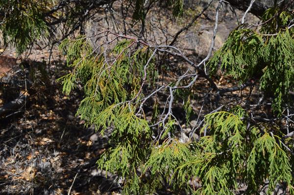
This is the fourth stop on the Lost Mine Trail Self-guided Tour. Here we discuss the Mexican drooping juniper, found only in west Texas.
Lost Mine Trail Stop #5
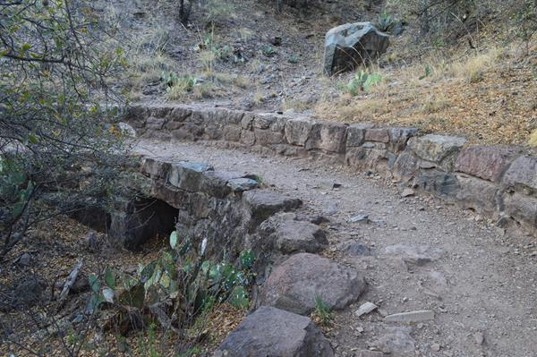
This is the fifth stop on the Lost Mine Trail Self-guided Tour. Here the trail crosses over a culvert built with native rocks by the Civilian Conservation Corps.
Lost Mine Trail Stop #6
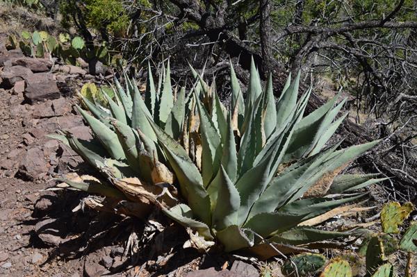
This is the sixth stop on the Lost Mine Trail Self-guided Tour. Here one has the chance to examine several agave that have not yet grown their famous stalk.
Lost Mine Trail Stop #7
This is the seventh stop on the Lost Mine Trail Self-guided Tour. Here we discuss grasses and the benefits of wildfire.