Voyageurs
International Falls, MN
About
With 218,055 acres, Voyageurs National Park is an adventure wonderland all year long full of exposed rock ridges, cliffs, wetlands, forests, streams and lakes. This is a place of transition between land and aquatic ecosystems, between southern boreal and northern hardwood forests, and between wild and developed areas. Whether you are exploring by land, water or ice there is something for everyone.
Directions
Voyageurs National Park is located in Northern Minnesota. The park shares its northern boundary with Canada and lies just west of the Boundary Water Canoe Area Wilderness. The park visitor centers are accessible by car but in order to truly experience the park, one must leave their vehicle behind and access the park by boat. Access to Voyageurs is available from many points lining Rainy Lake, Kabetogama Lake, Ash River, Crane Lake, and Orr/Pelican Lake.
Weather Info
There are four distinct seasons in Voyageur country. The air is temperate during June, July, and August when periods of fine, mild weather prevail. The frost-free season averages 120 days from June to mid-September. The average ice-out date is May 3 but varies year to year. Annual precipitation (rain and snow) averages 25-28 inches in the park and snowfall ranges from 55-70 inches, but is highly variable. The first measurable snowfall occurs in late October and the last in late April or early May.
Photos
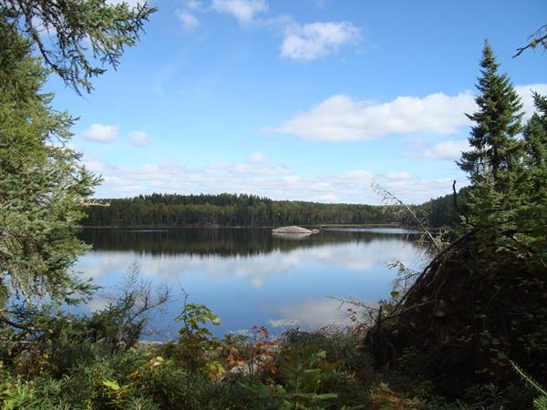
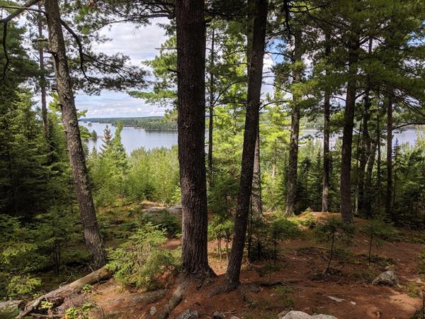
For peace and quiet explore the backcountry of the Kabetogama Peninsula
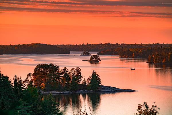
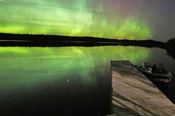
Enjoy a sunset in Voyageurs National Park.
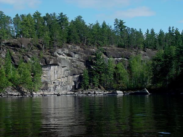
Explore the unique geology of Voyageurs National Park and see our story unfold.
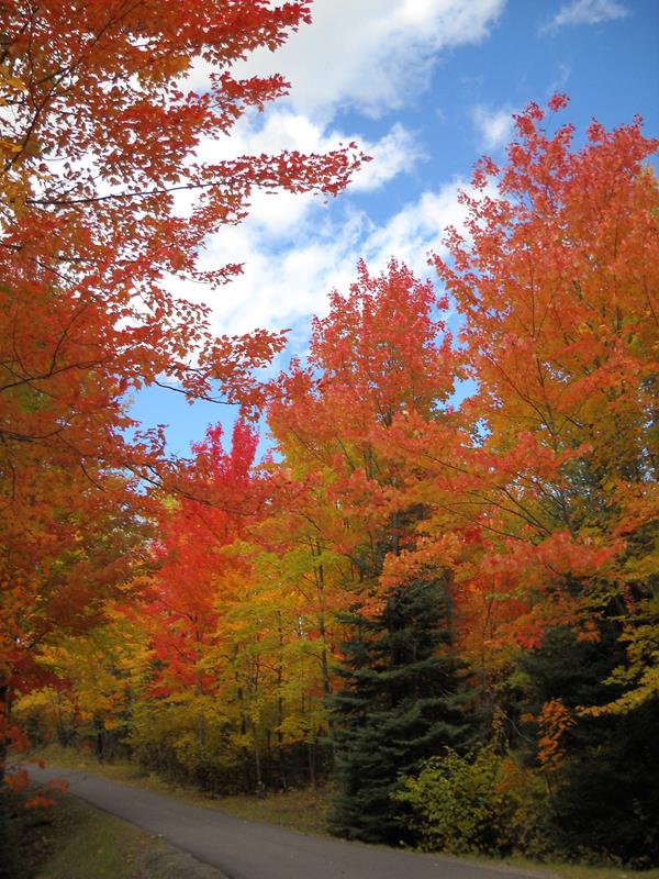
The mix of hardwood and conifers create inspiring scenic views especially in the fall.
Get outside and hiking on one of our many trails.