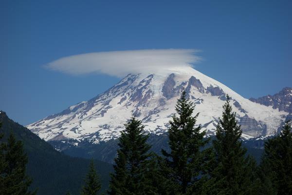
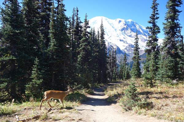
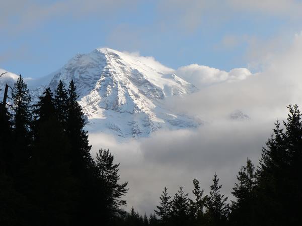
Mount Rainier
Ashford, Enumclaw, Packwood, Wilkeson, WA
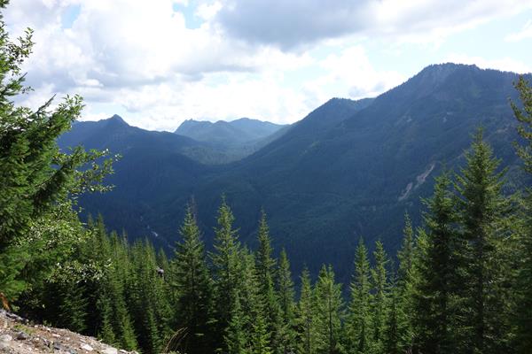
Backbone Ridge
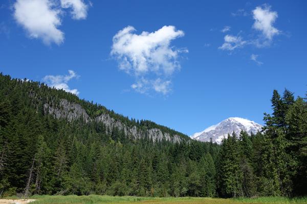
Pause at Backbone Ridge along Stevens Canyon Road for views of Mount Rainier and the Tatoosh Wilderness along the southern border of the park. Stevens Canyon Road is closed for construction on weekdays.
Bench and Snow Lake Trailhead
The Bench and Snow Lake Trail is a great hike for beginners, families with children, or those just looking for beautiful scenery.
Carbon River
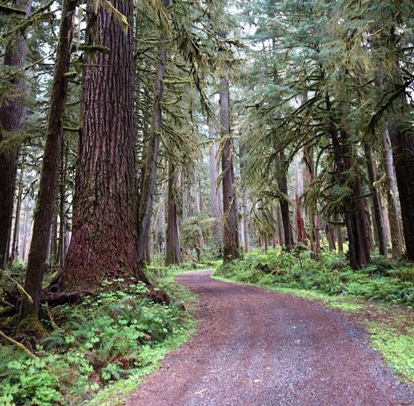
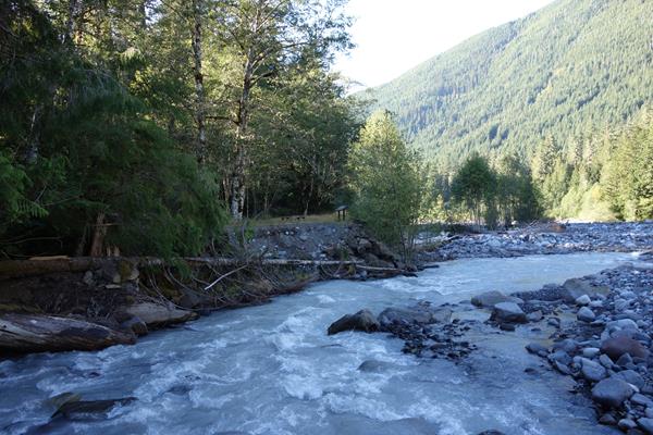
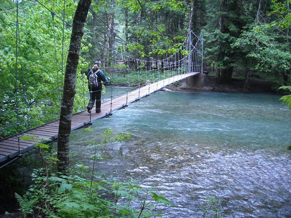
Located in the remote northwest corner of the park, Carbon River is home to temperate rainforest, Mount Rainier's lowest elevation glacier, and a dynamic river system. Hiking, bicycling, and camping opportunities abound.
Carbon River Rainforest Trail: A Different Rainforest Exhibit Panel
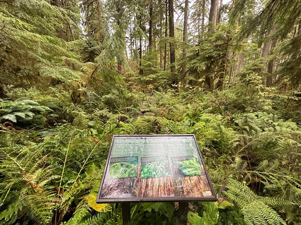
Common trees found in temperate rainforests include western red cedar and Douglas-fir.
Carbon River Rainforest Trail: Above It All Exhibit Panel
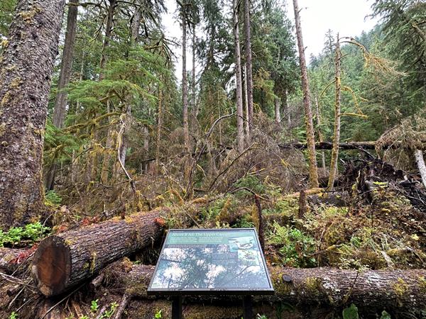
Look up! This exhibit panel highlights the complex canopy of the Carbon River temperate rainforest.
Carbon River Rainforest Trail: Beneath It All Exhibit Panel
Temperate rainforests have a dense understory of plants.
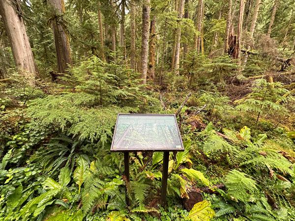
Carbon River Rainforest Trail: Crowding Out Competition Exhibit Panel
This exhibit panel highlights a temperate rainforest's middle canopy.
Carbon River Rainforest Trail: Rainforests Reuse Exhibit Panel
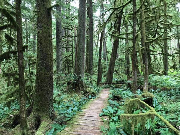
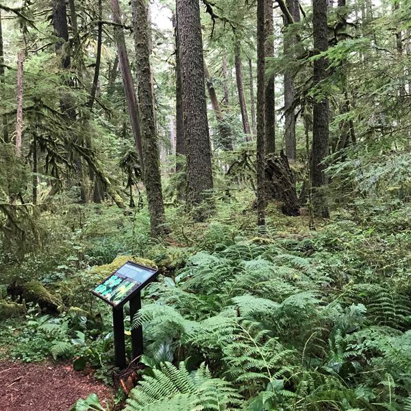
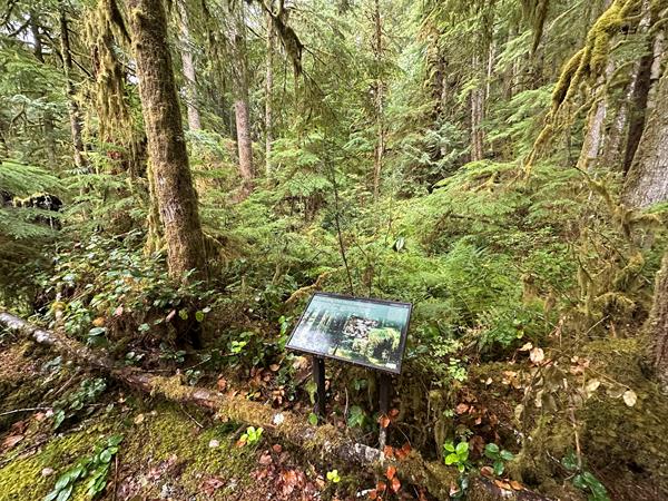
Learn about the lush temperate rainforest of the Carbon River area through a set of exhibit panels.
Carbon River Rainforest Trail: Usual Forecast Exhibit Panel
Explore Mount Rainier's temperate rainforest along the Carbon River Rainforest Trail.
Carbon River Rainforest Trail: Water Lovers Exhibit Panel
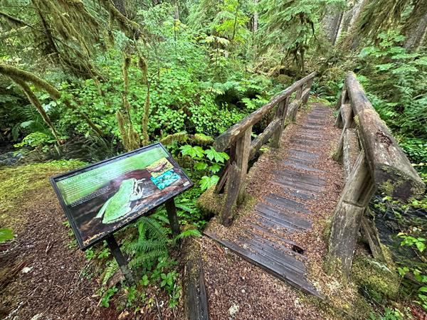
Temperate rainforests are also home to amphibians like frogs and salamanders.
Carbon River Rainforest Trail: Welcome Exhibit Panel
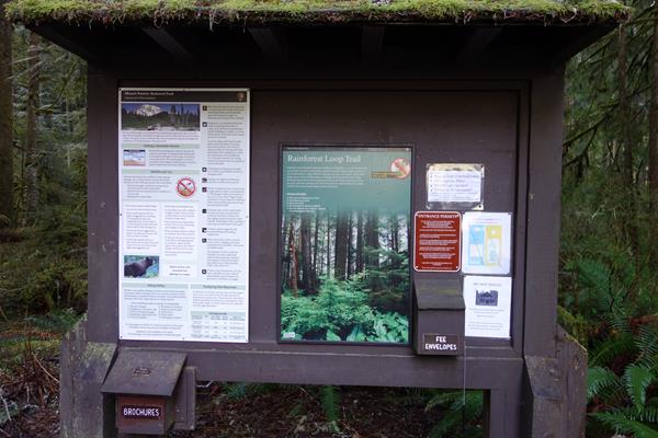
Start the Carbon River Rainforest Trail at the Carbon River Entrance.
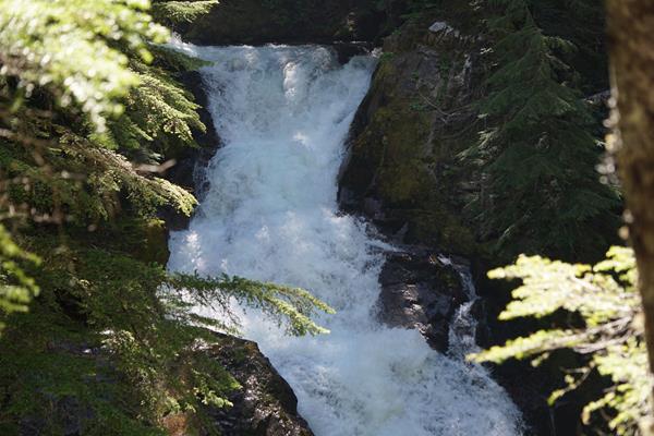
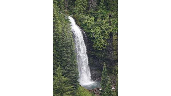
Carter Falls
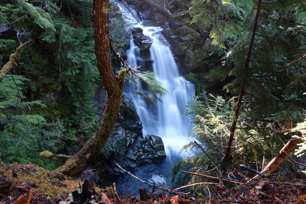
This popular waterfall is named in honor of Harry Carter, builder of much of the trail between Longmire and Paradise.
Carter Falls Trailhead
Carter Fall Trailhead provides access to the Wonderland Trail, the Nisqually River, and a moderate hike to view waterfalls.
Carter Falls Trailhead Exhibit Panel
Carter Falls Trailhead provides access to the Nisqually River, a dynamic force of nature described in this exhibit panel.
Chenuis Falls Trailhead
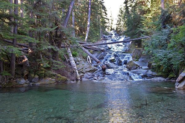
Hike to a beautiful cascading waterfall in a less visited area of the park.
Chenuis Falls Trailhead Exhibit Panel
Chenuis Falls Trail starts from the banks of the dynamic Carbon River. Learn more about this river system through this exhibit panel.
Chinook Entrance Arch
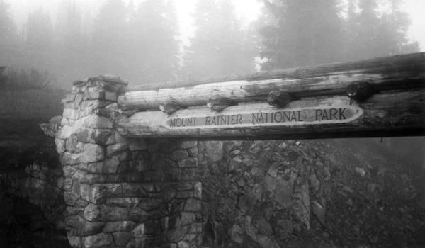
The historic Chinook Entrance Arch spans the width of the Mather Memorial Parkway (SR 410). The impressive log and stone bridge supports the Pacific Crest Trail, near Tipsoo Lake on the eastern boundary of the park.
Christine Falls
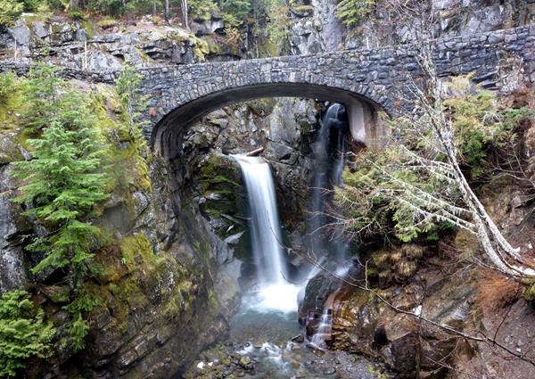
Christine Falls is a scenic waterfall framed by a historic bridge. It is located between Longmire and Paradise, along the road to Paradise.
Comet Falls & Van Trump Park Trailhead
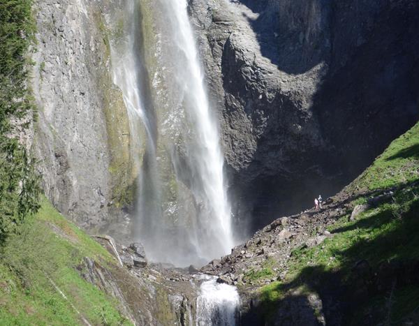
Plunging 320 feet, Comet Falls is one of the highest waterfalls in the park and a popular destination for many hikers. Continue past Comet Falls to climb into the subalpine meadows of Van Trump Park.
Deer Creek Trailhead
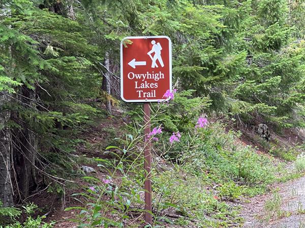
Connect to the Eastside Trail and Owyhigh Lakes Trail from SR 123 south of Cayuse Pass.
Denman Falls
Hike or bike the Westside Road to this 140 foot waterfall along St. Andrews Creek.
Eagle Peak Trailhead
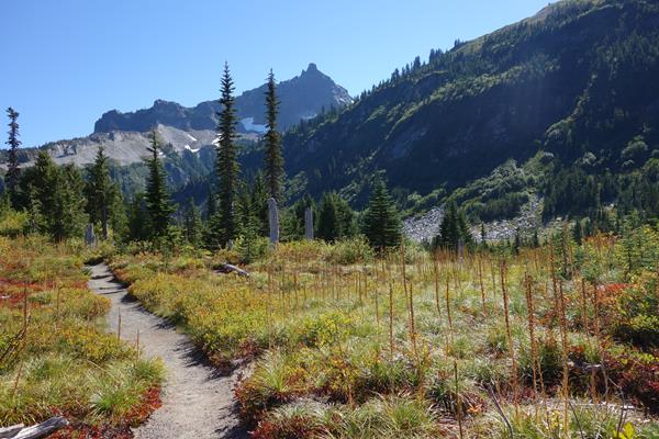
Climb through forest to a saddle in the Tatoosh Range with panoramic views of Mount Rainier and the surrounding landscape. Trailhead begins in Longmire.
Emmons Vista Overlook 2 Exhibit Panel
The second exhibit panel along the Emmons Vista Trail examines how the Osceola Mudflow dramatically reshaped the mountain and the surrounding region.
Emmons Vista Trailhead
The Emmons Vista Trailhead at Sunrise provides access to several trails, including the Emmons Vista Overlooks, Silver Forest Trail, and the Sunrise Rim Trail.
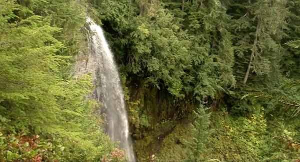
Fairy Falls
This 3-tiered cascade drops nearly 600 feet over a headwall of Stevens Canyon.
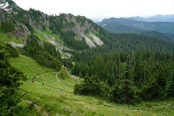
Glacier Basin Trailhead
Hike along the White River Valley with views of Mount Rainier and the Emmons Glacier along the Glacier Basin Trail. Trailhead begins in the White River Campground.
Green Lake Trailhead
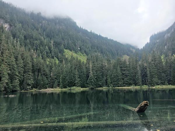
Hike a less traveled trail and discover a cascading waterfall and a beautiful lake surrounded by tall trees.
Grove of the Patriarchs Trailhead
Explore the Grove of the Patriarchs and wander through trails boardwalks, bridges, and dirt paths while winding through centuries old trees.
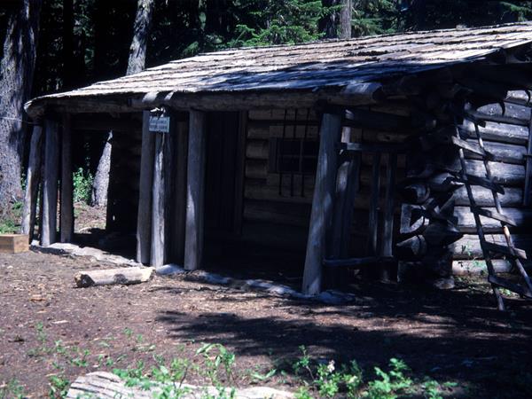
Indian Bar Trail Shelter
This trail shelter is one of two stone masonry shelters in the park built by the Civilian Conservation Corps.
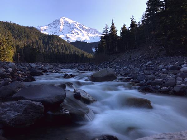
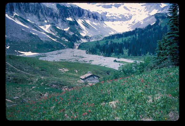
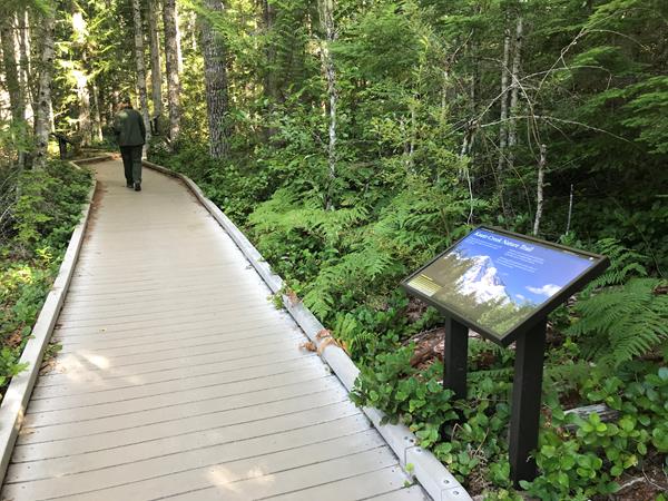
Kautz Creek
Pause at Kautz Creek for the first glimpse of Mount Rainier once you enter the park via the Nisqually Entrance. A short walk with wayside exhibits leads to a viewpoint, along with access to longer hiking trails.
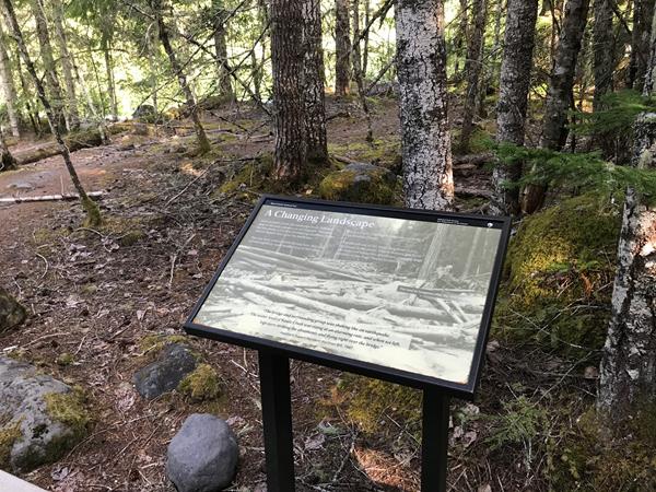
Kautz Creek Nature Trail: A Changing Landscape Exhibit Panel
This exhibit panel is a part of the Kautz Creek Nature Trail.
Kautz Creek Nature Trail: A Recovering Forest Exhibit Panel
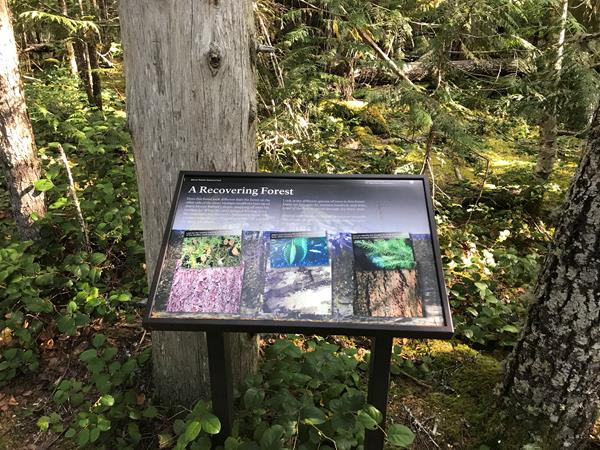
This exhibit panel is a part of the Kautz Creek Nature Trail.
Kautz Creek Nature Trail: Changing Course Exhibit Panel
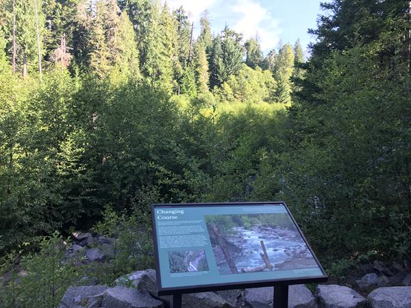
This exhibit panel is a part of the Kautz Creek Nature Trail.
Kautz Creek Nature Trail: Quote Exhibit Panel
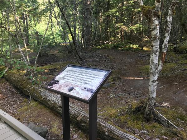
This exhibit panel is a part of the Kautz Creek Nature Trail.
Kautz Creek Nature Trail: Welcome Exhibit Panel
This exhibit panel introduces the Kautz Creek Nature Trail.
Klapatche Point
Klapatche Point is the terminus of Westside Road, with views of the rolling hills on the western border of the park. It is also the location of the North Puyallup Trailhead.
Lake George & Gobblers Knob Trailhead
Hike or bike Westside Road to Round Pass. From Round Pass, hike the trail to reach Lake George and Gobbler’s Knob Fire Lookout.
Lake James Patrol Cabin
This backcountry patrol cabin is located in the northern part of the park along the Northern Loop Trail.
Laughingwater Creek Trailhead
Hike to Three Lakes Camp or connect to the Pacific Crest Trail along this trail that follows Laughingwater Creek through the forest.
Longmire
Open year-round, Longmire is a gateway to Mount Rainier. Longmire is the first developed area in the park, with many buildings showcasing NPS rustic architecture, and is a National Historic District. Learn about the history of the area and view volcanic mineral springs along the Trail of Shadows, stay overnight and enjoy a meal at the National Park Inn, or explore one the area's hiking trails.
Martha Falls
These falls were named for Martha Longmire by one of her sons while he was working on the Wonderland Trail in Stevens Canyon.
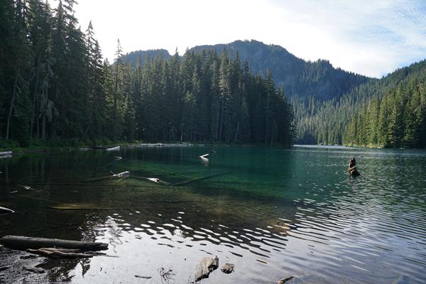
Mowich Lake
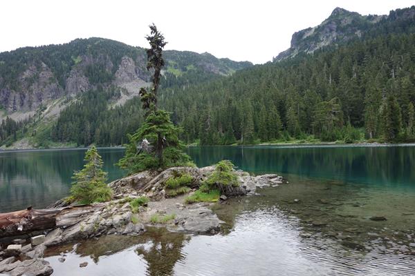
Set in a glacial basin surrounded by fragile wildflower meadows, Mowich Lake is the largest and deepest lake in Mount Rainier National Park. Accessible during the summer, the lake is a popular destination for hiking, fishing, non-motorized boating, and wilderness camping.
Mowich Lake Entrance & Paul Peak Trailhead
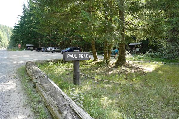
The Mowich Lake Road provides an entrance to one of the more remote locations accessible by vehicle in Mount Rainier National Park.
Mystic Lake Patrol Cabin
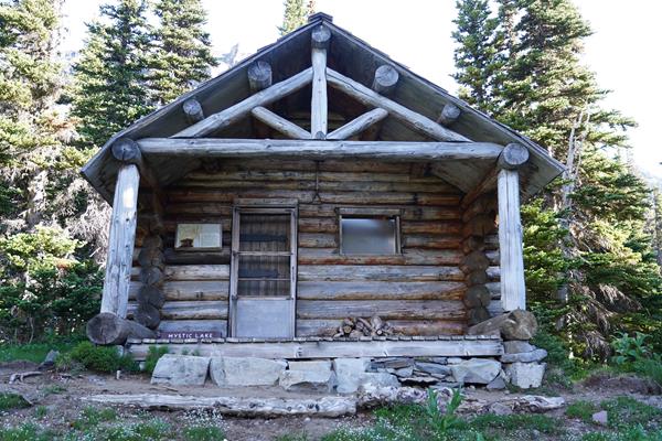
This cabin has served as a base for backcountry patrols in the north side of the park along the Wonderland Trail.
Narada Falls
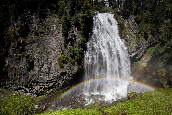
Narada Falls is an impressive waterfall along the road to Paradise. Take the short walk down to the lower view point or stop for a picnic.
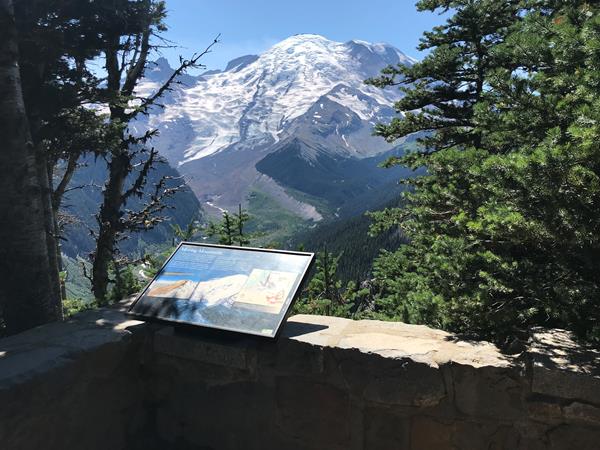
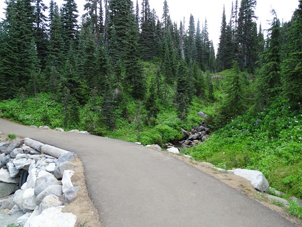
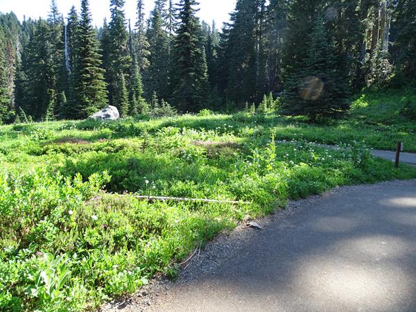
Nisqually Vista Trailhead
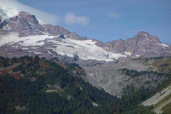
Nisqually Vista Trail is an easy, paved, loop trail through the Paradise Meadows with views of Mount Rainier and the Nisqually Glacier.
Nisqually Vista Walking Tour: A Changing Mountain
Take in one final view of the mountain on this trail and ponder the past and future of Mount Rainier.
Nisqually Vista Walking Tour: Deadhorse Creek
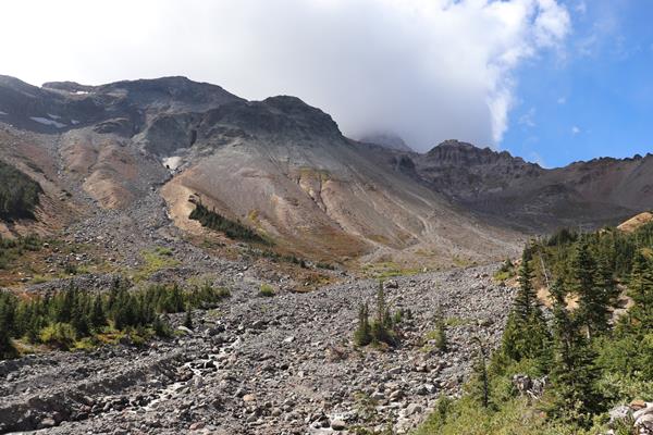
This year-round creek is the first indicator of some of the forces that shape Mount Rainier.
Nisqually Vista Walking Tour: Well-traveled Rocks
The locations of boulders throughout the Paradise valley illustrate the massive forces of mudflows.