Mesa Verde
Cortez and Mancos, CO
About
For over 700 years, the Ancestral Pueblo people built thriving communities on the mesas and in the cliffs of Mesa Verde. Today, the park protects the rich cultural heritage of 26 Pueblos and Tribes and offers visitors a spectacular window into the past. This World Heritage Site and International Dark Sky Park is home to over a thousand species, including several that live nowhere else on earth.
Directions
Mesa Verde National Park is in Southwestern Colorado. The park entrance is along Highway 160, between the towns of Cortez and Mancos, Colorado. It is located 10 miles east of Cortez, 9 miles west of Mancos, and about 35 miles west of Durango, Colorado. Once you enter the park, the first view of a cliff dwelling is 21 miles (approximately 45 minutes) along a steep, narrow, and winding road.
Weather Info
SPRING: Temps range from 40 F to 70 F, but snowstorms can occur as late as May. SUMMER: Temps can reach above 90 F. Thunderstorms are common in July and August. Be prepared to bring and drink plenty of water. FALL: Temps can range from 50 F to 75 F. Snowstorms can occur as early as October. WINTER: Temps can range from the teens to low 30s F. Icy roads are common. Snow tires, all-wheel drive, or chains may be required. Be prepared with water, snacks, and layers of warm clothing.
Photos
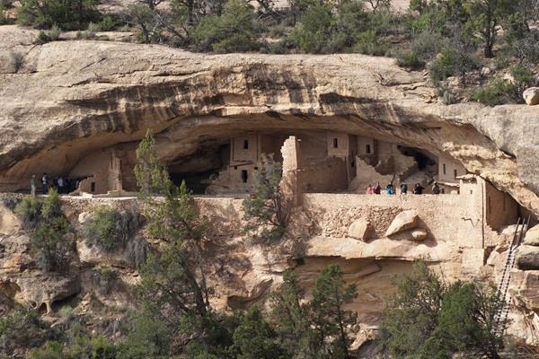
Visitors enjoying Step House, on Wetherill Mesa
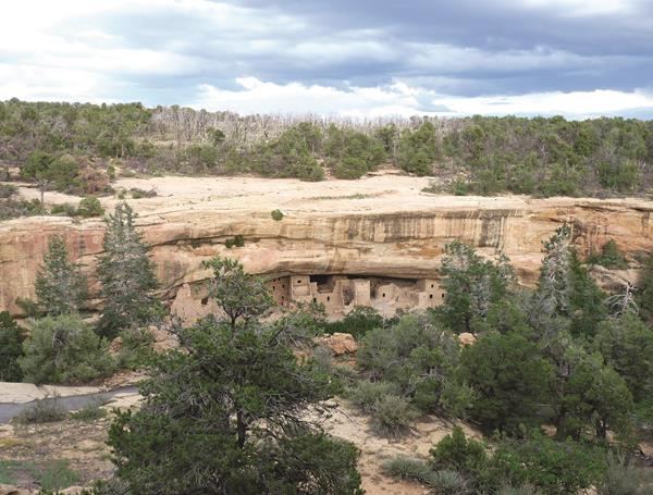
View of Balcony House from the Soda Canyon Overlook

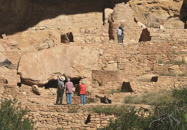
Square Tower House from overlook along the Mesa Top Loop
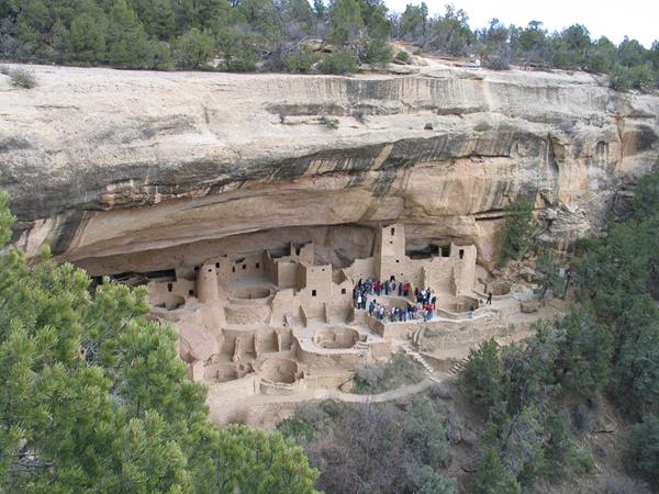
Spruce Tree House
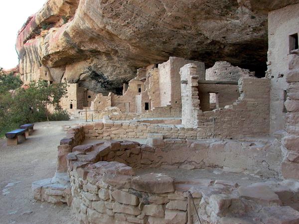
Spruce Tree House, Mesa Verde's third largest and best preserved cliff dwelling
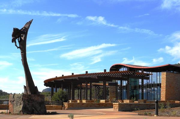
Stop by the Mesa Verde Visitor & Research Center at the park entrance where park staff will help you plan your visit.