Lassen Volcanic
Mineral, CA
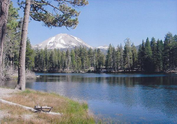
Fish Manzanita Lake
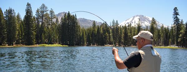
Manzanita Lake is one of the most popular fishing spots in the park and it is easily accessible. This lake holds a fair number of rainbow and brown trout and is rated as a blue-ribbon fly fishery by the state of California Department of Fish and Game.
Hike to Kings Creek Falls
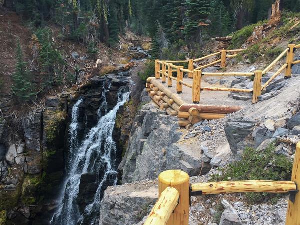
The Kings Creek Falls trail leads to a large roaring waterfall draped in ferns and other green plants which thrive off the mist generated by the falls.
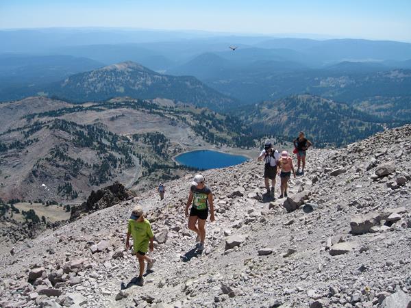
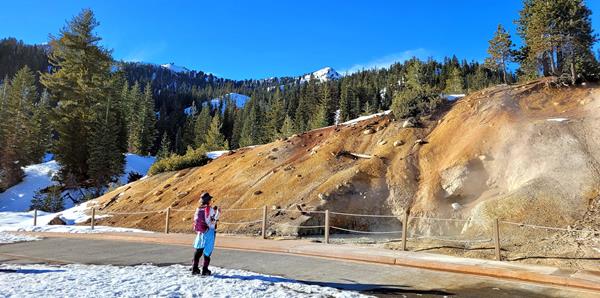
Hike to Bumpass Hell
Hike the three-mile, round-trip trail to the largest hydrothermal area in the park.
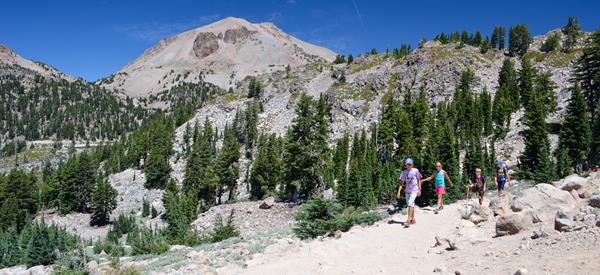
Drive Lassen Volcanic National Park Highway
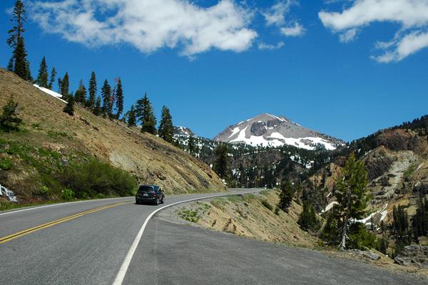
The 30-mile park highway connects the northwest (Manzanita Lake) and southwest entrances of the park. This scenic route passes through dense forest, winds around alpine lakes and meadow, crests at 8,512 feet near Lassen Peak Trailhead, and descends steep volcanic slopes into the southwest area. Designated turnouts and parking areas provide opportunities to enjoy the highway highlights.
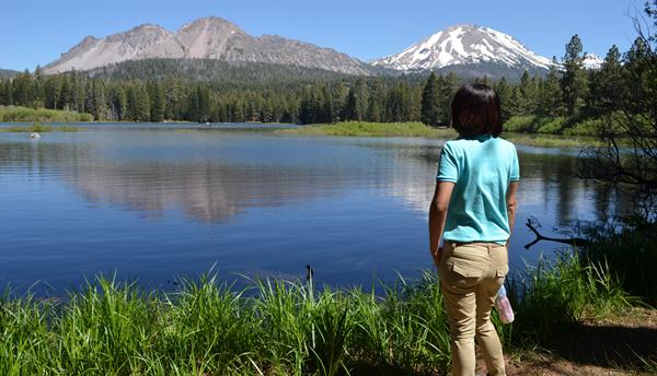
Hike Reflection Lake Loop
A short and relatively flat walk offers views of Lassen Peak and Chaos Crags volcanoes, often seen reflecting in the water. The trailhead is across the road from the Loomis Museum.
Walk Manzanita Lake Trail
Manzanita Lake Trail is an easy, mostly flat walk suitable for families with young children. It is not stroller-friendly. The walk offers scenic views of Lassen Peak and Chaos Crags volcanoes and birding and wildlife watching opportunities. The trail is popular for sunset viewing.
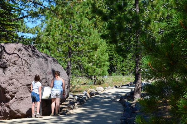
Walk Lily Pond Interpretive Trail
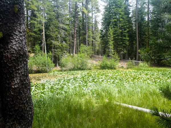
A half-mile, self-led, interpretive loop explores the rich diversity of plant and animal life in the Manzanita Lake Area.
Snowplay in the Manzanita Lake Area
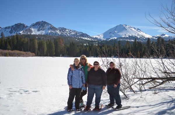
The Manzanita Lake Area (5,800 elevation) is one of two areas in the park accessible during the winter/spring snow season. The area features gentle slopes and scenic vistas. It offers the easiest routes for snowshoeing and cross-country skiing in the park.
Snowplay in the Southwest Area
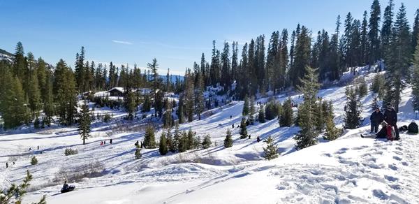
The steep slopes behind the Kohm Yah-mah-nee Visitor Center are a popular destination for sledders. The snow-covered park highway route also provides opportunities for snowshoeing, cross-country skiing, and backcountry travel.
Walk Devastated Area Interpretive Trail
Trailside signs on this wheelchair-accessible, 0.2-mile loop provide an introduction to the 1915-1916 Lassen Peak eruption and the resulting Devastated Area.
Visit Sulphur Works
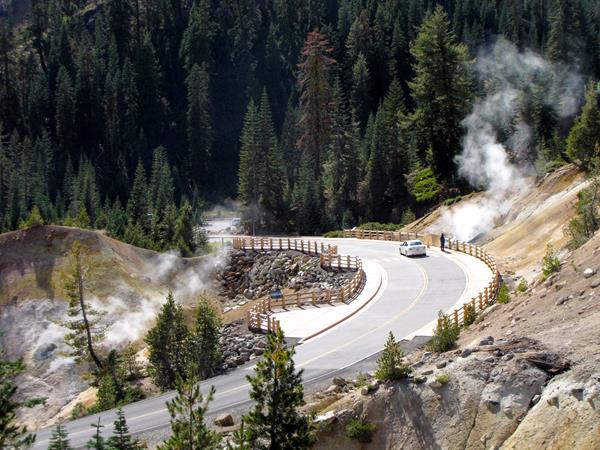
This steamy spot is accessible via a short walk along Lassen Volcanic National Park Highway. Sulphur Works is the easiest to access of the park's seven hydrothermal areas.
Visit Sulphur Works in Winter
Enjoy the sights and sounds of Sulphur Works hydrothermal area via a two-mile, round-trip over-snow route in the Southwest Area.