Lassen Volcanic
Mineral, CA
About
Lassen Volcanic National Park is home to steaming fumaroles, meadows freckled with wildflowers, clear mountain lakes, and numerous volcanoes. Jagged peaks tell the story of its eruptive past while hot water continues to shape the land.
Directions
From Interstate 5 (Redding), take Hwy 44 - 48 miles east to the junction of Hwy 89. Follow Hwy 89 south 1 mile to the north entrance of the park. From Interstate 5 (Red Bluff) take Hwy 36 E - 51 miles east to the junction of Hwy 89. Follow Hwy 89 north 6 miles to south entrance of the park.
Weather Info
Weather at Lassen can vary dramatically throughout the year. Average January temperatures are a high of 40.4 °F (4.7 °C) and a low of 20.8 °F (-6.2 °C). Average July temperatures are a high of 88.4 °F and a low of 49.8 °F. Temperatures reach 90 °F or higher on an average of 36.9 days, and drop to 32 ° or lower on an average of 164 days days annually.
Photos
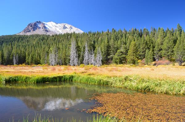
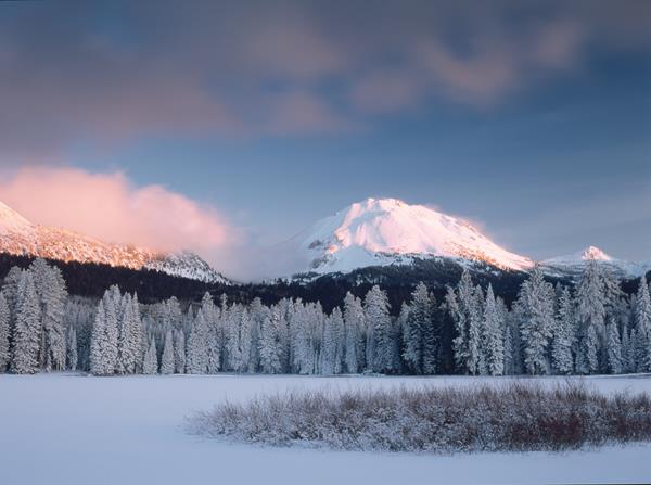
Lassen Volcanic's rugged volcanic landscape is softened by numerous meadows, lakes, and creeks.
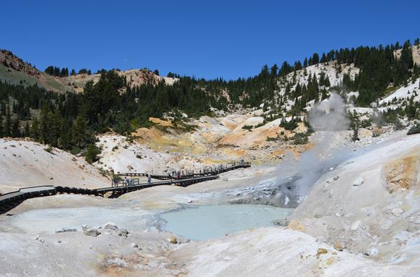
A 3-mile round-trip trail leads to Bumpass Hell, the largest of the park's hydrothermal areas.

Over 150 miles of trails let you choose your adventure.
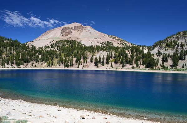
Lassen Peak stands out boldly between the bright blue sky and the sapphire hue of Lake Helen.
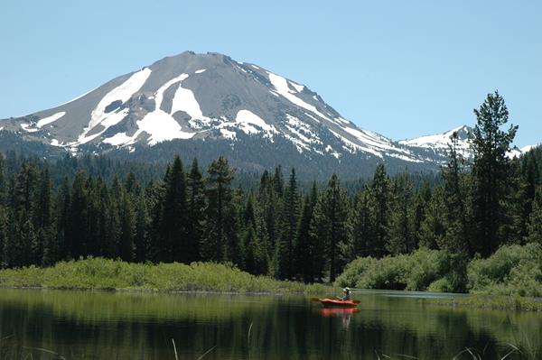
Manzanita Lake offers spectacular catch-and-release fishing in the shadow of volcanoes.
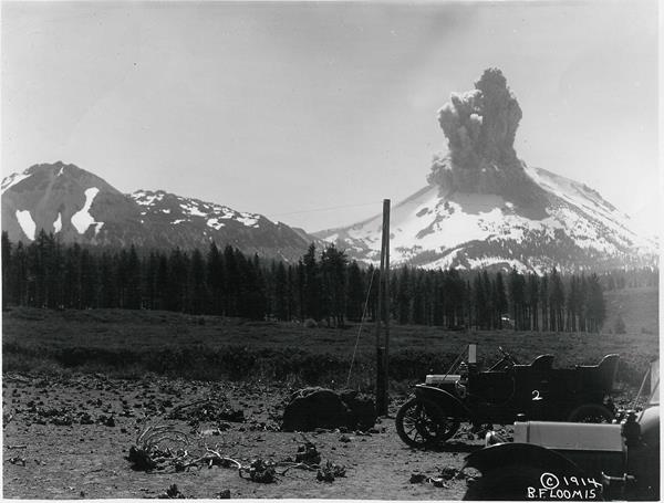
A large, explosive eruption of Lassen Peak brought national attention and set the stage for the establishment of Lassen Peak.