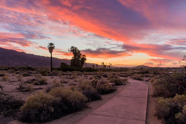
Joshua Tree
Twentynine Palms, CA
Barker Dam Nature Trail Trailhead
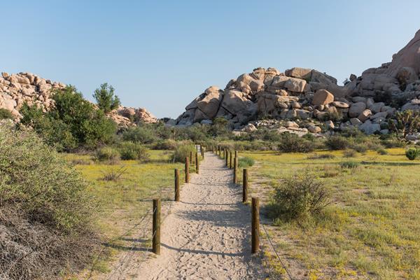
The Barker Damn Nature Trail Trailhead provides quick access to Barker Dam on a 1.1 mile hike.
Cholla Cactus Garden
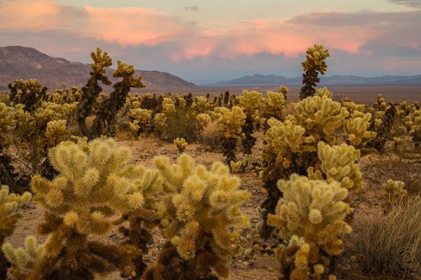
Enjoy scenic views of mountains and a large number of cholla growing along Pinto Basin Road.
Cottonwood Spring
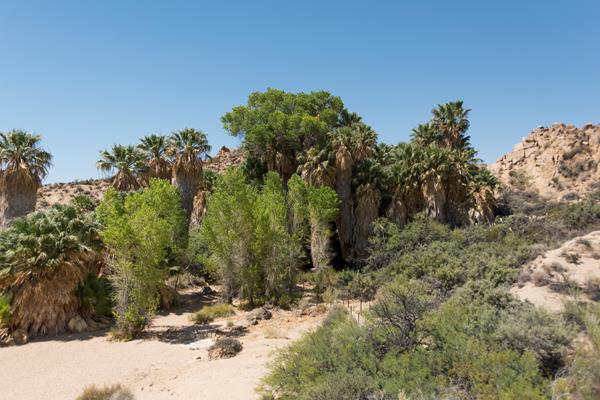
A lush desert oasis that also provides access to the Mastodon Peak Loop and Lost Palms Oasis Trail.
End of Trail
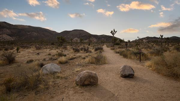
Hidden Valley Nature Trail Trailhead
The Hidden Valley Nature Trail Trailhead provides access to explore Hidden Valley.
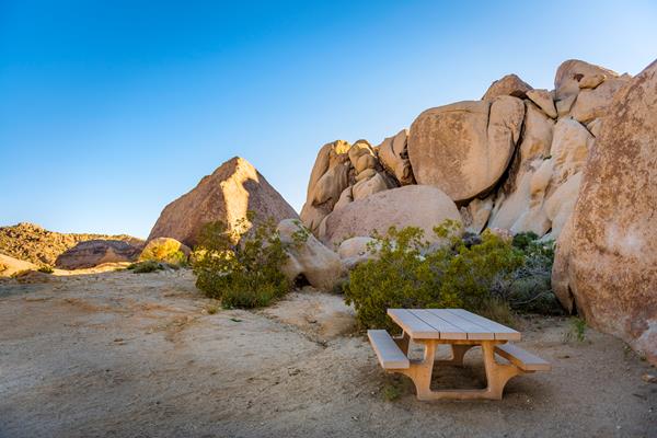
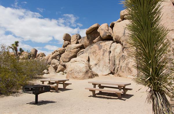
Hidden Valley Picnic Area
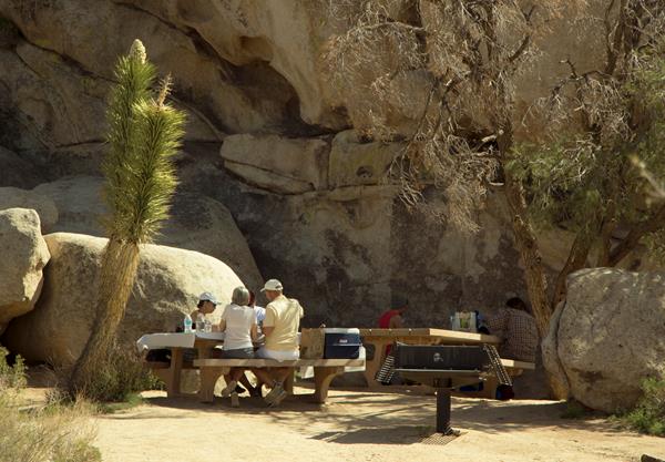
Hidden Valley Picnic Area is a large picnic area with picnic tables and grills among rock formations and Joshua Trees.
Indian Cove Nature Trail Trailhead
Trailhead for an easy .6 mile hike with interpretive signs along the way.
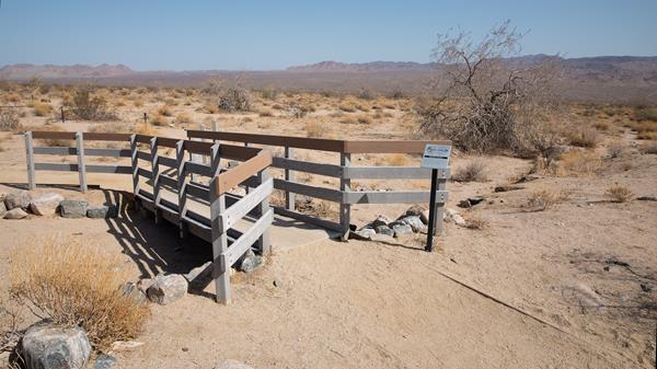
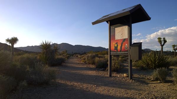
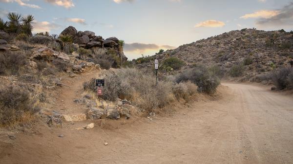
Indian Cove Wilderness Backpacking Board
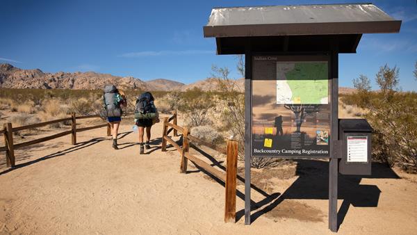
Backcountry board and trailhead for the north end of the Boy Scout Trail.
Keys View
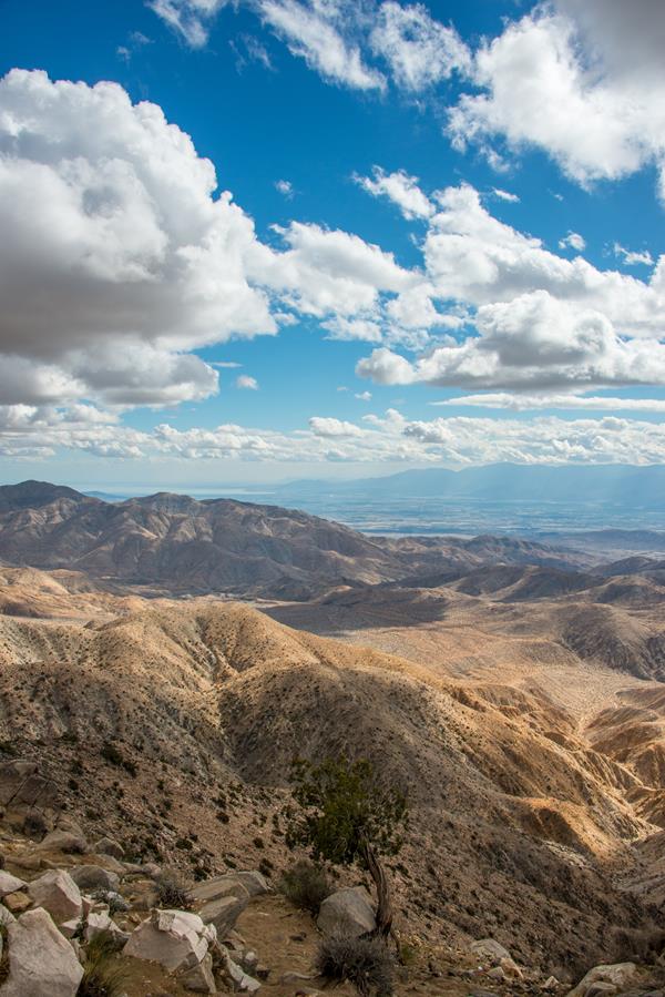
Keys View is a popular viewpoint providing wide vistas of the Little San Bernardino Mountains and Coachella Valley.
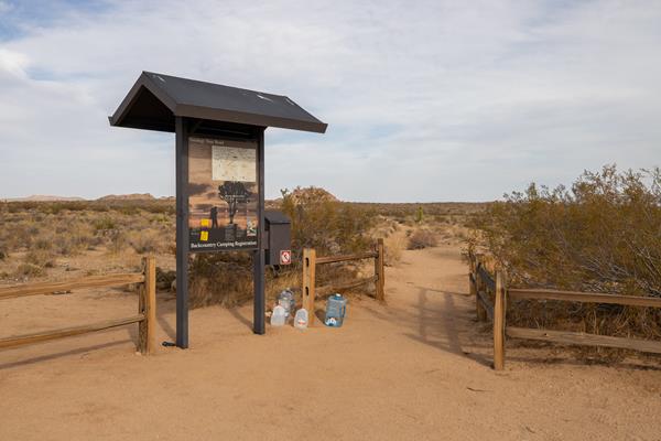
Keys West Wilderness Backpacking Board
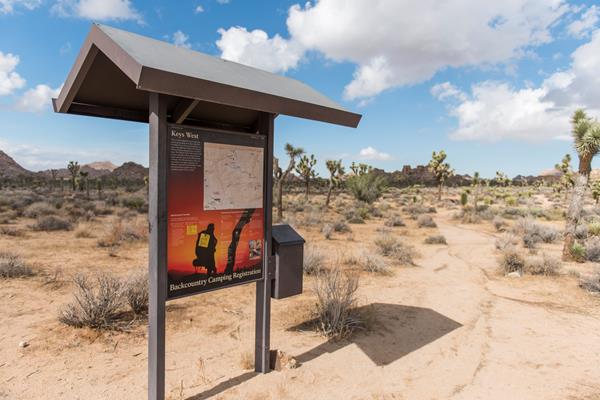
Backcountry board and trailhead for the south end of the Boy Scout Trail.
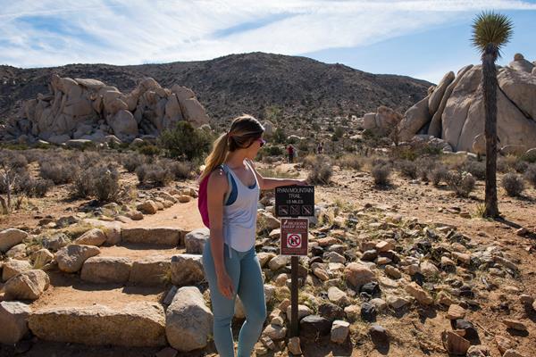
Lost Horse Mine Trailhead
The Lost Horse Mine Trailhead provides access to the Lost Horse Mine Loop Trail and the Lost Horse Mine.
Quail Springs Picnic Area
Quail Springs Picnic area provides picnic tables, grills, pit toilets, and trail access.
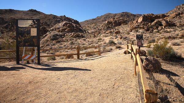
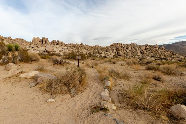
Skull Rock and Discovery Trail Trailheads
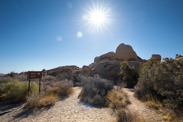
Trailheads for the Skull Rock Nature Trail and Discovery Trail.
Twin Tanks and Arch Rock Trailhead
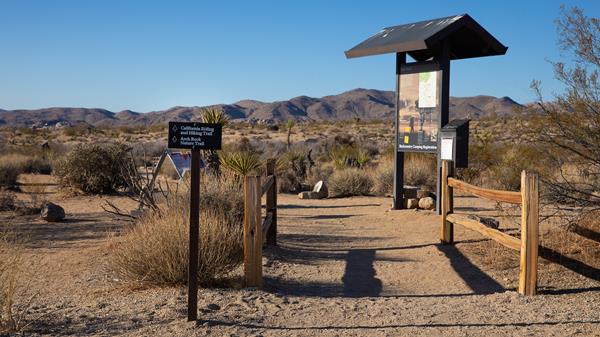
Arch Rock Nature Trailhead and the Twin Tanks Wilderness Backpacking Board.
West Side Loop Trailhead
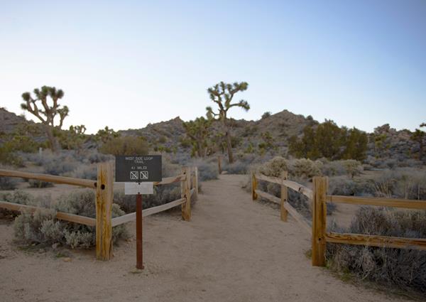
Trailhead located on the west side of Black Rock Campground for West Side Loop, a moderate 4.7 mile hike.