Hawaii Volcanoes
Hawaii National Park, HI
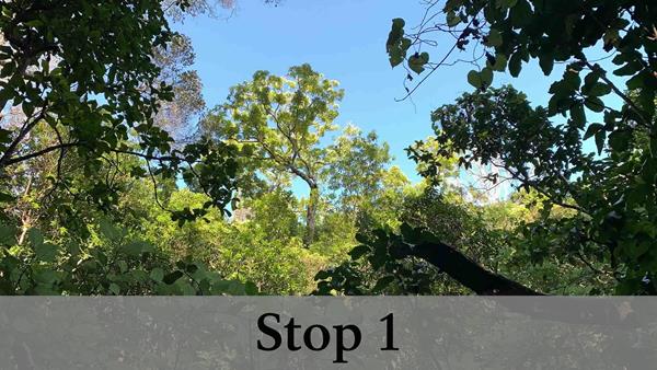
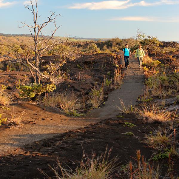
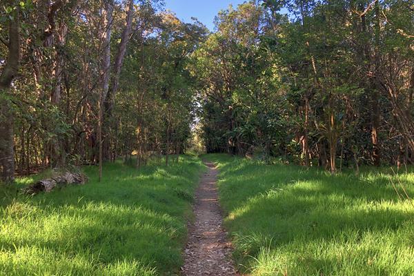
Devastation Trail
The Devastation Trail meanders gently through a landscaped covered in cinders from the 1959 eruption of Kīlauea Iki
Footprints Shelter
See exhibits and a shelter preserving footprints left by Native Hawaiians long ago
Hilina Pali Overlook
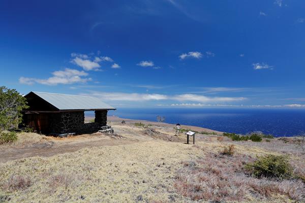
This CCC-era stone shelter sits on the southern flank of Kīlauea with dramatic, sweeping views of the Pacific Ocean and coast below.
Keanakākoʻi Crater
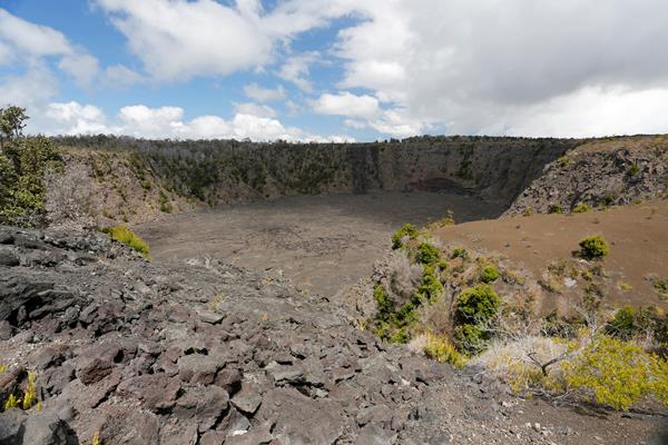
Along a section of Old Crater Rim Drive, Keanakākoʻi is a pit crater that has been witness to dramatic geologic events over the centuries.
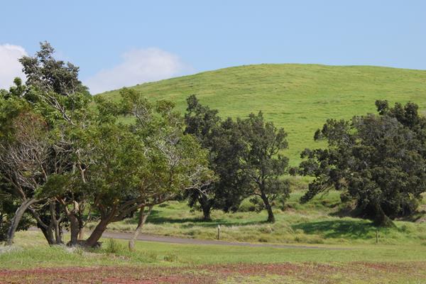
Kona Trail
Relics of Kahuku’s ranching era, pasture land and the 1887 lava flow define this trek.
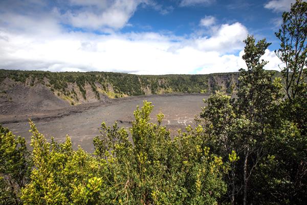
Kīlauea Iki Overlook
The Kīlauea Iki Overlook peers into the volcanic crater that hosted the jawdropping lava fountains and lava lake in 1959.
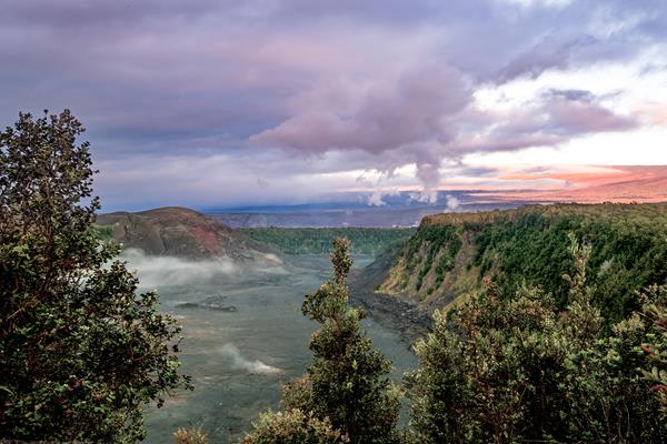
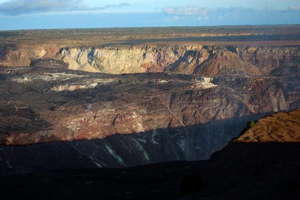
Kīlauea Overlook
Kīlauea Overlook provides the most dramatic views of Kīlauea caldera and Halemaʻumaʻu crater
Kīpukapuaulu
An "island within an island", this kīpuka is home to treasured and endangered native species and features a short hiking trail.
Mau Loa o Maunaulu
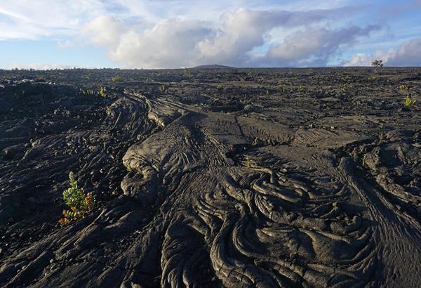
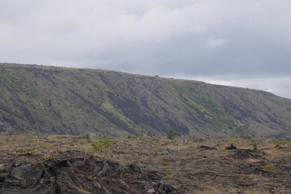
Witness the dramatic expanse of the lava flows of Maunaulu that blanketed the landscape from 1969 to 1974 at this pullout on Chain of Craters Road
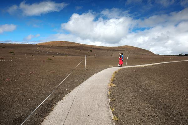
Mauna Loa Lookout
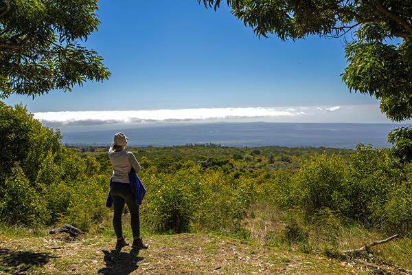
A scenic overlook atop the narrow, winding Mauna Loa Road. It also marks the start of the Mauna Loa Trail and provides a short trail to a silversword plant exclosure.
Mauna Loa Observatory Trailhead
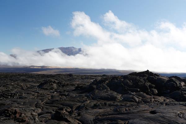
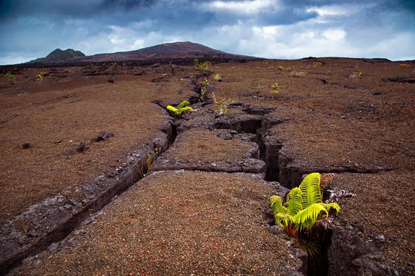
This remote and difficult trail through jagged lava fields leads to the summit of Mauna Loa.
Nāhuku (Thurston Lava Tube)
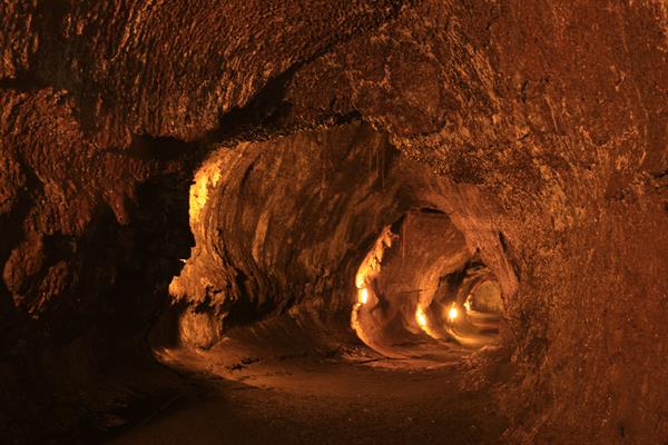
A 500-year old cave where a river of lava once flowed.
Puʻuloa Petroglyphs
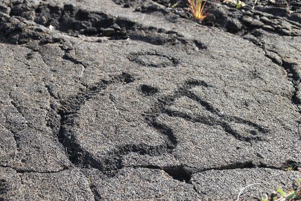
A sacred site and the largest grouping of petroglyphs in Hawaiʻi.
Puʻupuaʻi Overlook
Look into Kīlauea Iki crater from a perch next to the massive cinder cone created by lava fountains in 1959
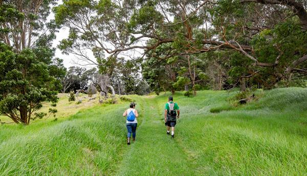
The Kahuku Unit
Located on the volatile shoulders of Mauna Loa, the Kahuku ranch was once one of the biggest cattle ranches in Hawaiʻi, producing beef and hides for more than 150 years.
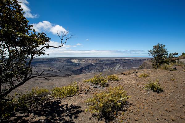
Uēkahuna
Uēkahuna is an important site for Native Hawaiian ritual and cultural practice. At the highest point on the rim it presents visitors with spectacular vistas of Kaluapele, Mauna Loa, and surrounding areas.
Volcano House
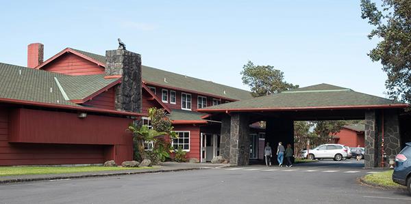
The historic Volcano House hotel has existed in various places and forms on the rim of Kīlauea since 1846