Theodore Roosevelt
Medora, ND
Boicourt Trail
Take a short hike above the badlands on one of the South Unit of Theodore Roosevelt National Park's accessible trails.
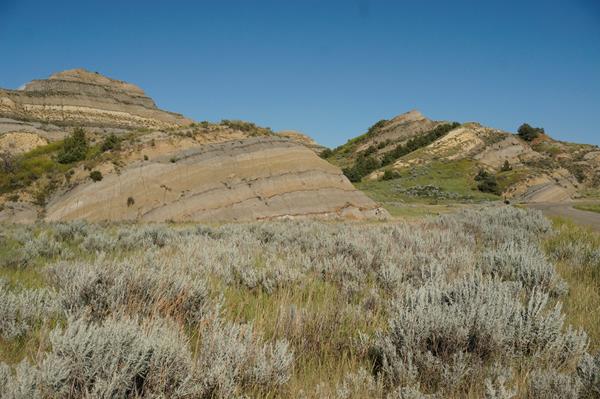
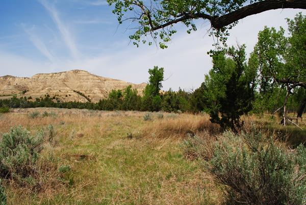
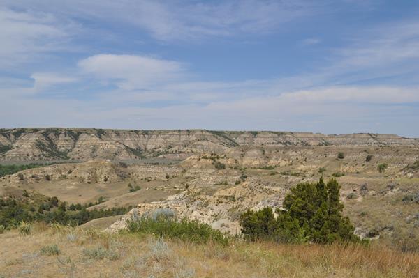
Buck Hill
One of the highest points in the South Unit of Theodore Roosevelt National Park, Buck Hill offers incredible, 360° views.
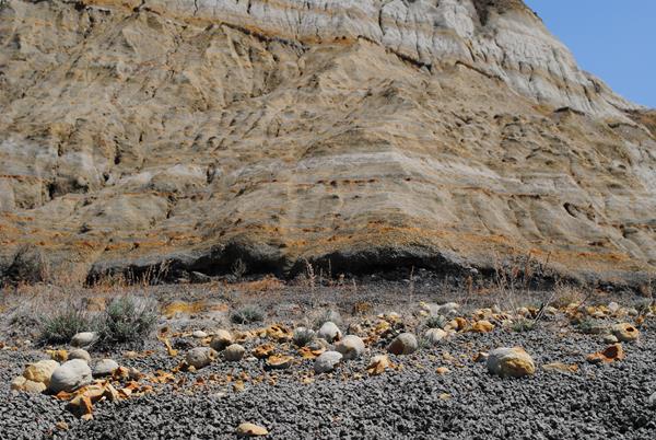
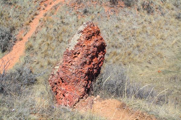
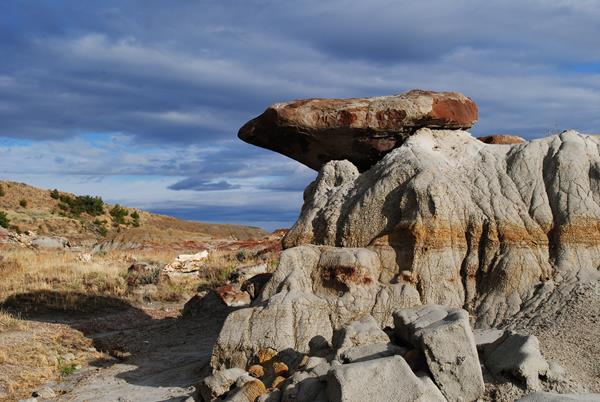
Cannonball Concretions
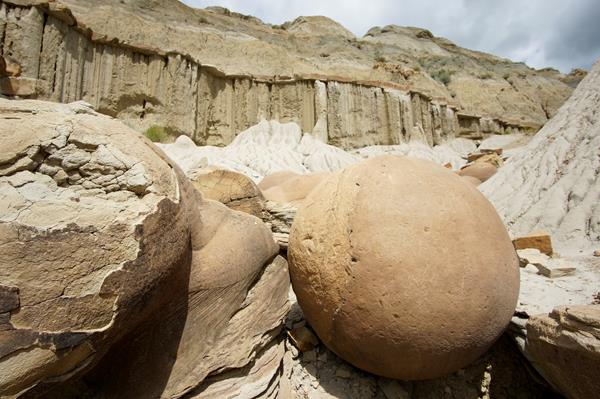
These unusual, round rock formations stand out against the broken landscape of the North Dakota badlands.
Coal Vein Trail Post 10: Seasonal Stream
Trail post 10 on the Coal Vein Guided Nature Trail
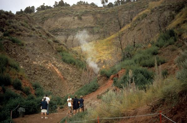
Coal Vein Trail Post 11: Ignition
Trail post 11 on the Coal Vein Guided Nature Trail
Coal Vein Trail Post 12: Clinker Overlook
Trail post 12 on the Coal Vein Guided Nature Trail
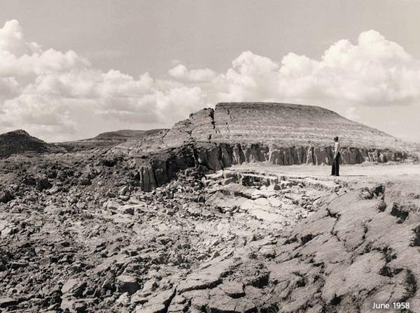
Coal Vein Trail Post 13: Slumping
Trail post 13 on the Coal Vein Guided Nature Trail
Coal Vein Trail Post 14: Grassland
Trail post 14 on the Coal Vein Guided Nature Trail
Coal Vein Trail Post 15: The Big Picture
Trail post 15 on the Coal Vein Guided Nature Trail
Coal Vein Trail Post 16: Chimney
Trail post 16 on the Coal Vein Guided Nature Trail
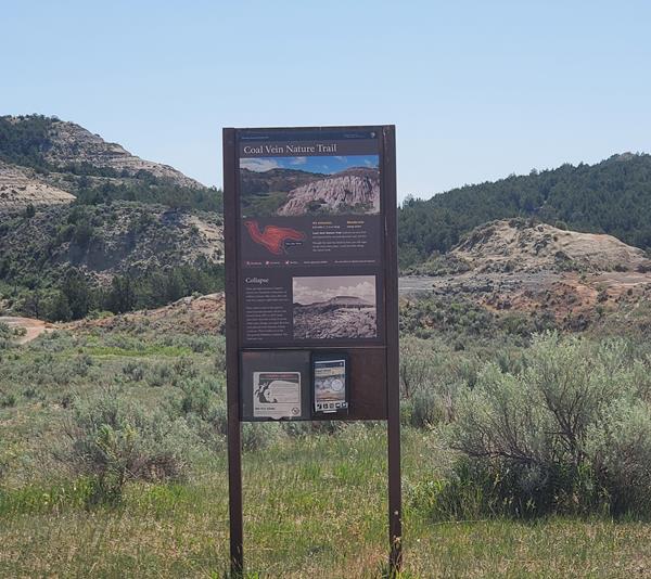
Coal Vein Trail Post 2: Collapse
Trail post 2 on the Coal Vein Guided Nature Trail
Coal Vein Trail Post 3: Bentonite
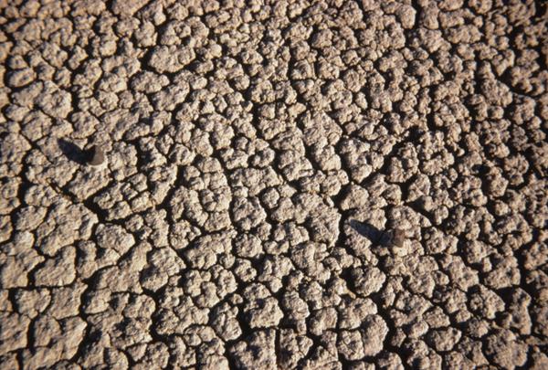
Trail post 3 on the Coal Vein Guided Nature Trail
Coal Vein Trail Post 4: Caprocks
Trail post 4 on the Coal Vein Guided Nature Trail
Coal Vein Trail Post 5: Dry Climate
Trail post 5 on the Coal Vein Guided Nature Trail
Coal Vein Trail Post 6: Seasonal Pool
Trail post 6 on the Coal Vein Guided Nature Trail
Coal Vein Trail Post 7: Burn Out
Trail post 7 on the Coal Vein Guided Nature Trail
Coal Vein Trail Post 8: Hills Overlook
Trail post 8 on the Coal Vein Guided Nature Trail
Coal Vein Trail Post 9: Clinker
Trail post 9 on the Coal Vein Guided Nature Trail
Elkhorn Ranch Cabin Site
The original location of Theodore Roosevelt's Elkhorn Ranch Cabin.
Oxbow Overlook
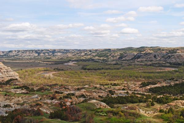
Enjoy a stunning scenic vista of the meandering Little Missouri River surrounded by tall cottonwood trees and impressive buttes.
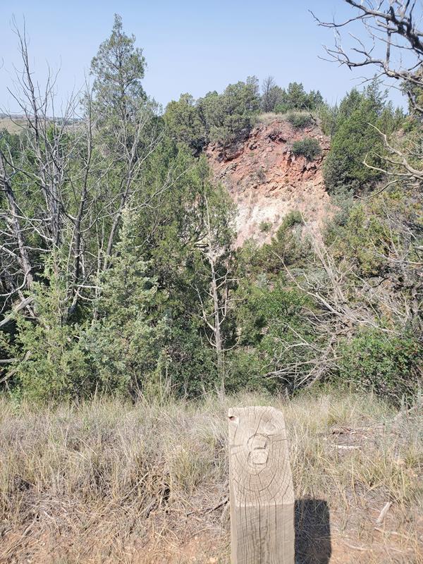
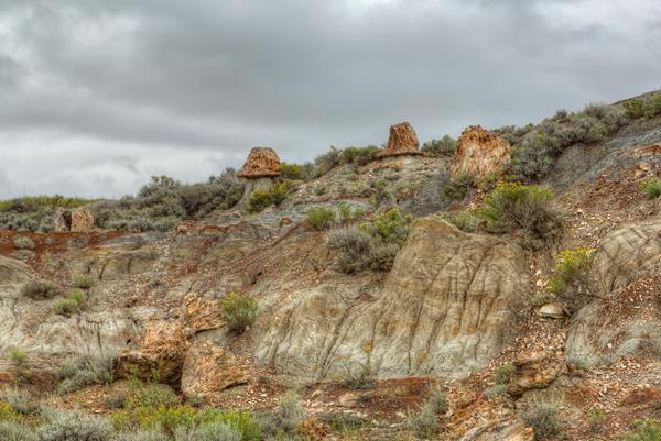
Petrified Forest - North
Take a hike on the northern fork of the petrified forest trail, and experience the dramatic otherworldly topography and scattered stumps of Theodore Roosevelt National Park's petrified forest.
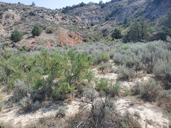
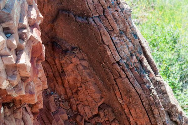
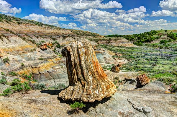
Petrified Forest - South
Theodore Roosevelt National Park contains one of the highest concentrations of petrified wood in the country, and the rolling badlands offer unique opportunities to hike amongst these geological wonders.
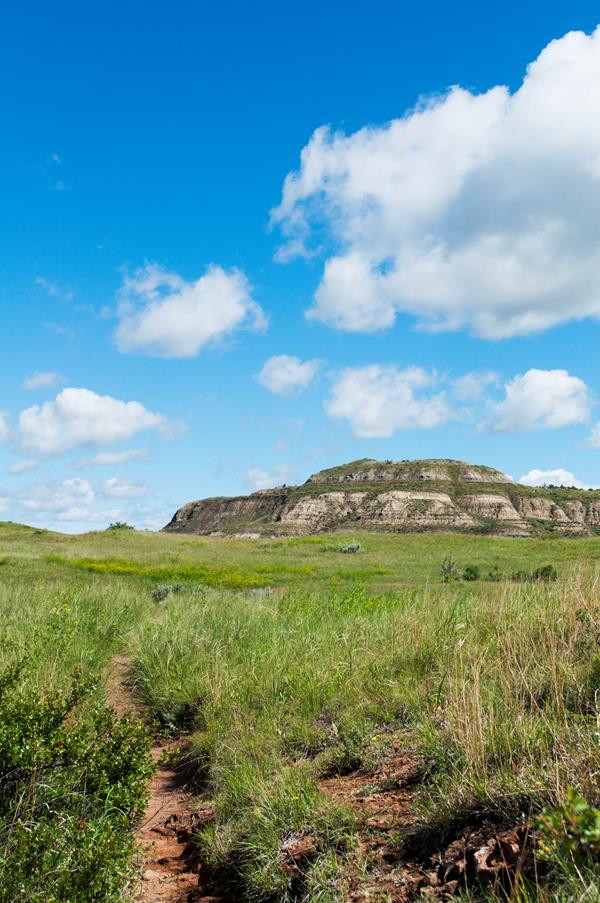
Skyline Vista
Skyline Vista Trail is a great accessible introduction to Theodore Roosevelt National Park.