Isle Royale
Houghton, MI
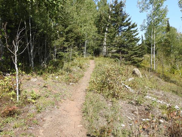
Greenstone Section 1: Hike from Lookout Louise to Mount Franklin
This secluded section of the Greenstone Ridge Trail reaches to the northeastern tip of Isle Royale. Mileage: About 5 miles
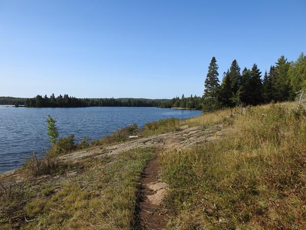
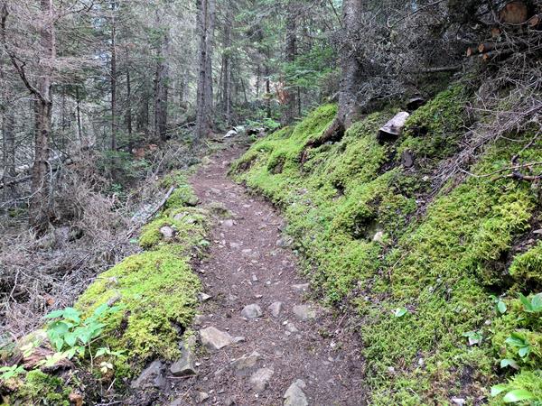
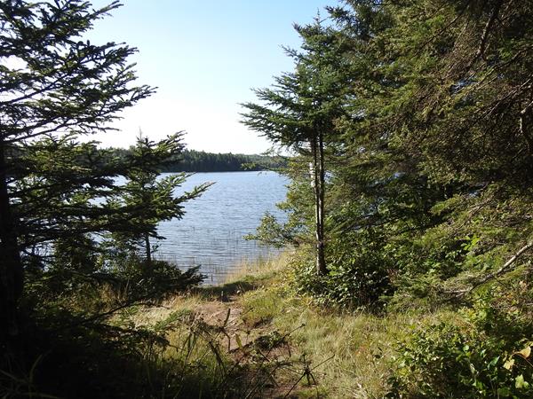
Minong Section 1: Hike from McCargoe Cove to Todd Harbor
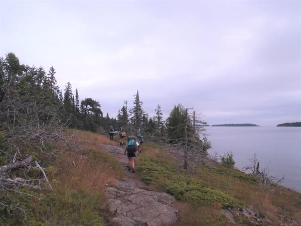
Try out Isle Royale's most challenging trail by trekking this more traveled section of this primitive trail. Mileage: About 6.7 miles
Minong Section 2: Hike from Todd Harbor to Little Todd
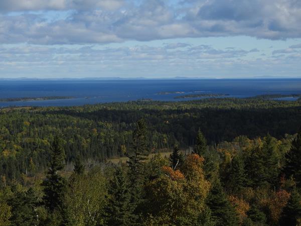
Enjoy scenic views of interior lakes, Lake Superior, and Canada on this strenuous, primitive trail. Mileage: About 6.8 miles
Minong Section 3: Hike from Little Todd to North Desor
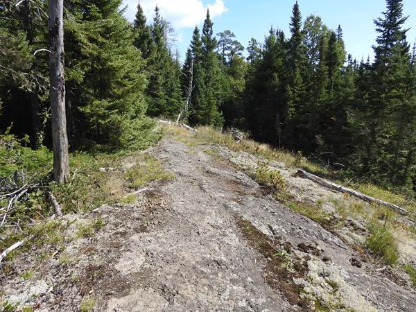
Trek the most challenging section of the primitive Minong Ridge Trail with strenuous hill climbs, unsure footing, and picturesque ridgetop views. Mileage: About 5.7 miles
Minong Section 4: Hike from North Desor to Windigo
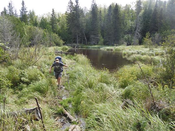
Discover remnants of a wildfire, carefully trek over beaver dams, and roll with the ridges of the longest section of the primitive Minong Ridge Trail. Mileage: About 13 miles
Hike the Mount Franklin Trail
Looking for a hike with a scenic view? The Mount Franklin Trail connects Three Mile Campground to Mount Franklin, an overlook with picturesque northern views. Mileage: About 2.5 miles
Hike the Mount Ojibway Trail
Hike from Mount Ojibway to Daisy Farm on the Mount Ojibway Trail. Explore an old fire tower on the Greenstone Ridge, hike through wetlands, and finish near Daisy Farm Campground along Rock Harbor Channel. Mileage: About 1.7 miles
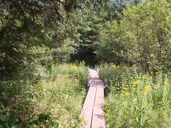
Hike the Daisy Farm Trail
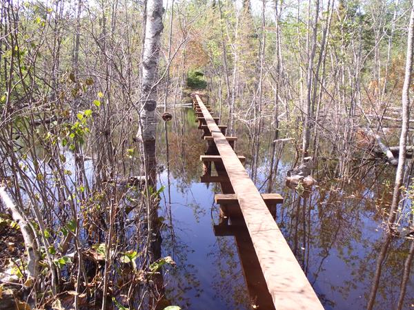
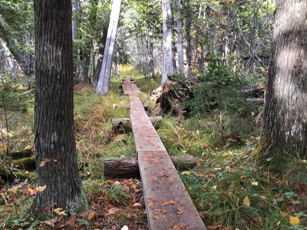
Explore a bog, trek along a lengthy boardwalk through wetlands, and view wildlife along the Daisy Farm Trail that connects the Greenstone Ridge to Daisy Farm Campground. Mileage: About 1.7 miles
Harbor to Hills Section 5: Hike from Lake Richie to West Chickenbone
Hike from one interior lake to the next on the Indian Portage Trail. Mileage: About 3.6 miles
Harbor to Hills Section 4: Hike from Moskey Basin to Lake Richie
Hike by streams, through wetlands, and atop rocky outcroppings on the Lake Richie Trail. Mileage: About 1.9 miles
Harbor to Hills Section 3: Hike from Daisy Farm to Moskey Basin
This section of the Rock Harbor Trail strays away from Rock Harbor Channel and meanders through forests speckled with rocky outcroppings. Mileage: About 3.9 miles
Harbor to Hills Section 2: Hike from Three Mile to Daisy Farm
Hike along the Rock Harbor Trail from Three Mile to Daisy Farm and enjoy views of Rock Harbor Channel, Rock Harbor Lighthouse, and Edisen Fishery. Mileage: About 4.2 miles
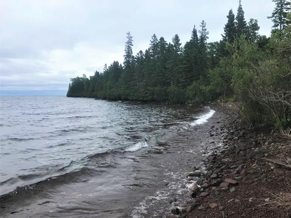
Harbor to Hills Section 1: Hike from Rock Harbor to Three Mile
The Rock Harbor Trail hugs the Rock Harbor Channel offering scenic views of the outer islands. Mileage: About 3.6 miles
Greenstone Section 7: Hike from South Desor to Island Mine
Unknowingly trek over the highest peak on the island—Mount Desor—on this section through hardwood forest. Mileage: About 5.2 miles
Greenstone Section 6: Hike from Ishpeming Tower to South Desor
This rolling trail through hardwood forest offers an opportunity for self reflection. Mileage: About 3.5 miles
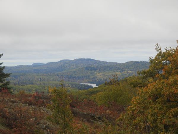
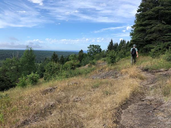
Greenstone Section 5: Hike from Hatchet Lake to Ishpeming Tower
Discover scenic views, an old fire tower, and the hardwood forest on Isle Royale's west end. Mileage: About 3.8 miles
Greenstone Section 4: Hike from Chickenbone Lake to Hatchet Lake
Begin this trek with scenic views near Chickenbone Lake then travel through a variety of forest types to Hatchet Lake. Mileage: About 7.2 miles
Greenstone Section 3: Hike from Mount Ojibway to Chickenbone Lake
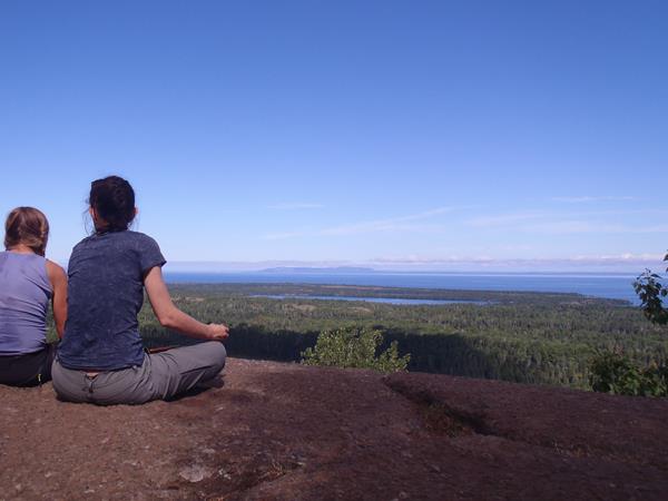
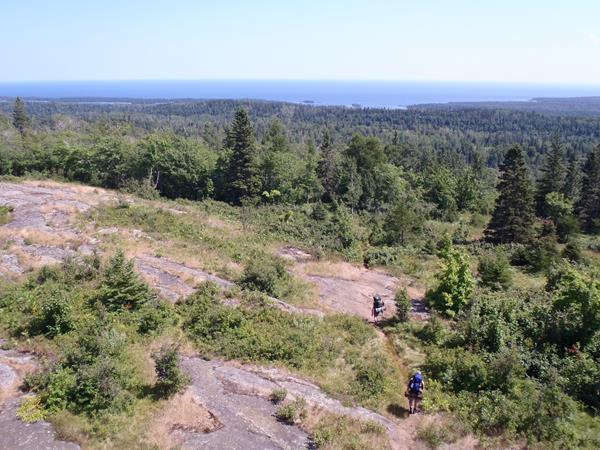
Take in the stunning vistas from the eastern Greenstone Ridge, including views from Ojibway Tower. Mileage: About 5.7 miles
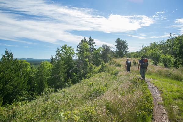
Greenstone Section 2: Hike from Mount Franklin to Mount Ojibway
Travel from one scenic viewpoint to another starting at Mount Franklin, a picturesque overlook along the Greenstone Ridge. Mileage: About 2.8 miles
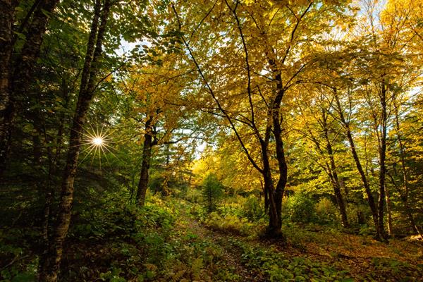
Walk the Windigo Nature Trail
Walk the Windigo Nature Trail and immerse yourself in the deciduous forest on the western end of Isle Royale.
Hike the Huginnin Loop
Day hike or backpack the Huginnin Loop on the west end of Isle Royale. Discover over 8 miles of trail that includes remnants from past humans, the rocky northern shore, and the western wilderness of the island.
Feldtmann Loop Section 4 / Greenstone Ridge: Hike from Island Mine to Windigo
Walk along an old mining road on the western end of the Greenstone Ridge then descend to Windigo. Mileage: About 6.5 miles
Feldtmann Loop Section 3: Hike from Siskiwit Bay to Island Mine
Comb Carnelian Beach and relish in the remnants of the historic Island Mine on this section of the Feldtmann Loop. Mileage: About 4.3 miles
Feldtmann Loop Section 1: Hike from Windigo to Feldtmann Lake
Hike on the Feldtmann Lake Trail and experience remnants of an old Lake Superior shoreline. Mileage: About 8.5 miles
Hike the Tobin Harbor Trail
The Tobin Harbor Trail connects the Mount Franklin Trail to Rock Harbor. This easygoing route is preferred amongst backpackers compared to the Rock Harbor Trail. Mileage: About 3 miles
Portage from Lake Richie to Chippewa Harbor
The portage between Lake Richie and Chippewa Harbor is 1.2 miles and connects to the island's exterior.
Portage from Lake LeSage to Lake Richie
Portage 0.6 miles from Lake LeSage to Lake Richie over a rolling trail.
Portage from McCargoe Cove to Chickenbone Lake
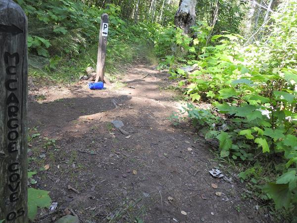
Enter the island's interior by portaging from McCargoe Cove to Chickenbone Lake.
Portage from Lake Livermore to Lake LeSage
Portage from Lake Livermore to Lake LeSage and travel over the Greenstone Ridge along the Indian Portage Trail.
Portage from Chickenbone Lake to Lake Livermore
The portage between Chickenbone Lake and Lake Livermore is a short and steep 0.2 miles.
Feldtmann Loop Section 2: Hike from Feldtmann Lake to Siskiwit Bay
Climb the steep path to the Feldtmann Ridge and enjoy scenic views of Feldtmann Lake and the western wilderness of Isle Royale. Mileage: About 10.3 miles
Paddle Washington Creek
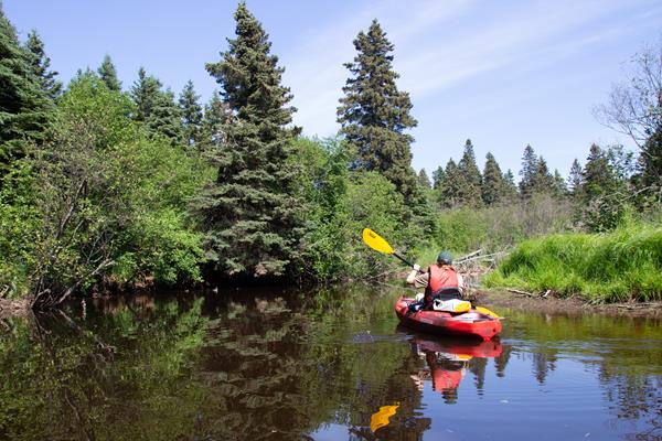
Paddle Washington Creek, located on the west end of Isle Royale National Park. Washington Creek is an excellent spot for wildlife viewing.
Become an Isle Royale Junior Ranger
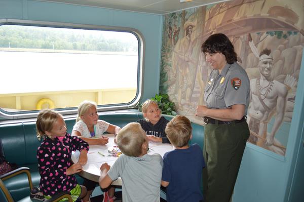
Become an Isle Royale Junior Ranger and learn about the isolated island, the unique plants and animals found in the park, the island’s cultural history, and Leave No Trace principles.
Attend a Windigo Ranger Program
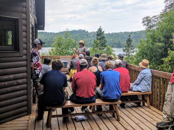
Attend a Windigo ranger program at Isle Royale National Park. Learn about the isolated island, it's cultural history, and the critters who call the island home. Topics include moose, wolves, geology, shipwrecks, island biogeography, wilderness, and more.
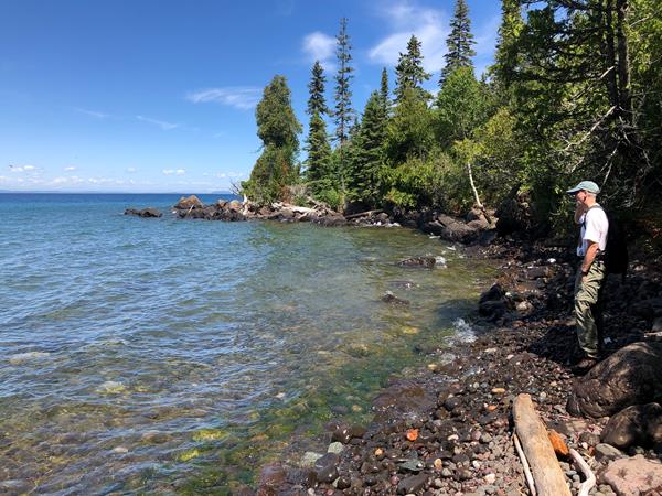
Stoll Memorial Trail (Scoville Point)
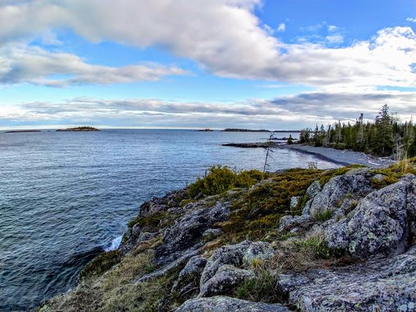
The Albert Stoll Jr. Memorial Trail is a relatively easy hiking trail that captures the majesty of Lake Superior and engages with the wilderness character of Isle Royale National Park.
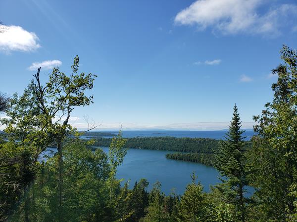
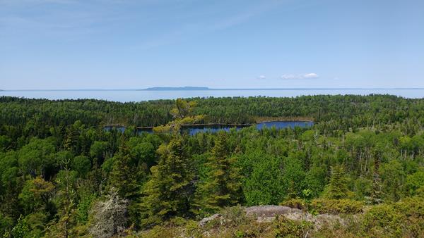
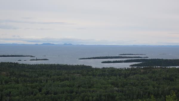
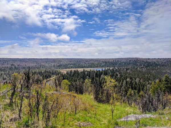
Hike to Minong Ridge Overlook
Hike to the Minong Ridge Overlook and enjoy views of Isle Royale's west end, Lake Superior, and the Canadian shoreline to the north.
Hike to Grace Creek Overlook
Grace Creek Overlook offers scenic views of Grace Creek, Grace Harbor, and Lake Superior.
Explore Raspberry Island
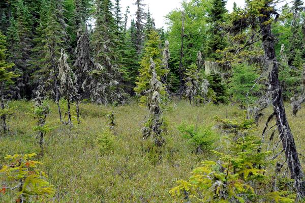
Take a leisurely walk along a boardwalk through the spruce bog on Raspberry Island accessible by private boat, vessel rental, or a tour on the MV SANDY from Rock Harbor on Isle Royale’s east end.
Hike to Suzy's Cave
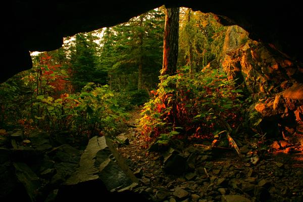
Discover Suzy’s Cave, a wave-washed cliff and an inland sea arch, found on Isle Royale’s eastern end.
Paddle Tobin Harbor
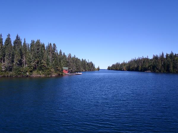
Embark on a serene paddle in Tobin Harbor, on the east end of Isle Royale National Park. Wildlife sightings, especially aquatic birds, are abound in this scenic harbor.
Attend a Rock Harbor Ranger Program
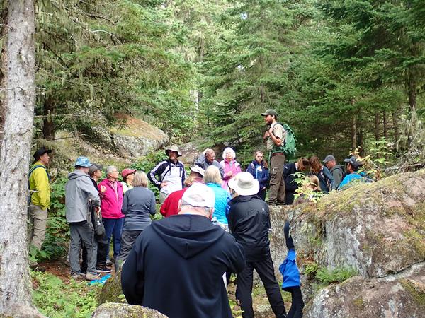
Attend a Rock Harbor ranger program at Isle Royale National Park. Learn about the isolated island, it's cultural history, and the critters who call the island home. Topics include moose, wolves, geology, shipwrecks, island biogeography, wilderness, and more. Ranger programs also include guided hikes and tours.