Capitol Reef
Torrey, UT
About
Located in south-central Utah in the heart of red rock country, Capitol Reef National Park is a hidden treasure filled with cliffs, canyons, domes, and bridges in the Waterpocket Fold, a geologic monocline (a wrinkle on the earth) extending almost 100 miles.
Directions
From I-70: Take exit 149, then take UT-24 west toward Hanksville; continue for 43.8 miles (70.5 km). Turn right to continue on UT-24 west and continue for 37.3 miles (60 km). From I-15: take exit 188 then US-50 east toward Scipio. Left on UT-50; continuing 0.7 miles (1.1 km). Turn right onto US-50 east; continue for 24.4 miles (39.3 km). Turn right onto UT-260 south and continue 4.2 miles (6.8 km), then right on UT-24 for 71.3 miles. UT-12: North on highway 12 to Torrey, UT. Right onto UT-24.
Weather Info
Weather is posted daily; check at the park visitor center for weather updates. Do not enter into narrow canyons if there is a threat of rain or if rain has been falling in the area. Rain and snow may also make dirt roads impassable to vehicles.
Photos
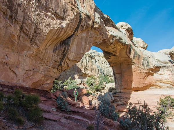
Hickman Bridge, a natural sandstone bridge, is a popular hike in the park.
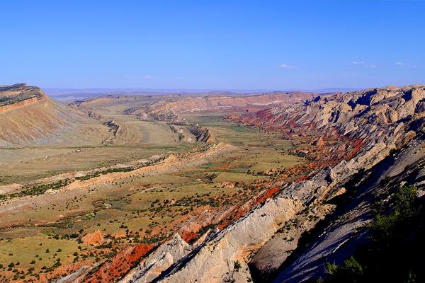
The Strike Valley shows colorful layers in the Waterpocket fold.
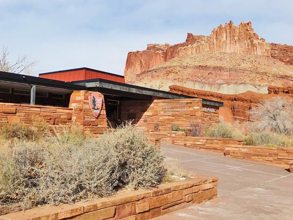
The Capitol Reef Visitor Center sits below cliffs known as "The Castle".
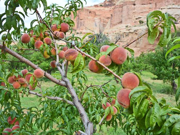
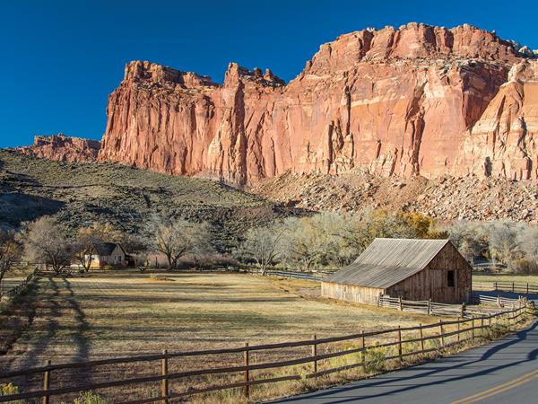
The Capitol Reef Orchards, planted in the pioneer era, remain a popular place for visitors today.